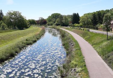
9.4 km | 9.9 km-effort
mery pouan 200823
joeljoseph
User
Length
54 km
Max alt
125 m
Uphill gradient
255 m
Km-Effort
58 km
Min alt
70 m
Downhill gradient
254 m
Boucle
Yes
Creation date :
2023-08-20 08:00:45.386
Updated on :
2023-08-20 10:40:48.749
2h38
Difficulty : Very difficult
FREE GPS app for hiking
About
Trail Road bike of 54 km to be discovered at Grand Est, Aube, Méry-sur-Seine. This trail is proposed by joeljoseph.
Positioning
Country:
France
Region :
Grand Est
Department/Province :
Aube
Municipality :
Méry-sur-Seine
Location:
Unknown
Start:(Dec)
Start:(UTM)
565646 ; 5373236 (31U) N.
Comments
Trails nearby
de MÉRY SUR SEINE aux ÉTANGS de BRUN
Walking
Very easy
(1)
Méry-sur-Seine,
Grand Est,
Aube,
France
2h 25min
Yes
entre Méry sur Seine et Saint-Oulph
Walking
Very easy
Méry-sur-Seine,
Grand Est,
Aube,
France
6.4 km | 6.9 km-effort
1h 37min
Yes
Boucle Mery sur Seine - Droupt-Saint-Basle
Walking
Easy
Méry-sur-Seine,
Grand Est,
Aube,
France
11.6 km | 12.2 km-effort
2h 17min
Yes
Droupt, Rilly, écluse 8
Walking
Easy
Droupt-Saint-Basle,
Grand Est,
Aube,
France
17.8 km | 19.8 km-effort
4h 9min
Yes
Boucle entre canal et champs
Walking
Easy
Vallant-Saint-Georges,
Grand Est,
Aube,
France
18.1 km | 0 m-effort
4h 7min
Yes
memoire
Mountain bike
Easy
Méry-sur-Seine,
Grand Est,
Aube,
France
12.3 km | 13.1 km-effort
1h 39min
Yes
chaleur plus vent n.e
Road bike
Very difficult
Méry-sur-Seine,
Grand Est,
Aube,
France
54 km | 56 km-effort
2h 56min
Yes