

vars st Catherine Farmer track

valougosta
User

Length
11.7 km

Max alt
2162 m

Uphill gradient
333 m

Km-Effort
16.9 km

Min alt
1640 m

Downhill gradient
552 m
Boucle
No
Creation date :
2023-08-16 10:08:25.976
Updated on :
2023-08-17 09:07:22.015
1h56
Difficulty : Medium

FREE GPS app for hiking
About
Trail Mountain bike of 11.7 km to be discovered at Provence-Alpes-Côte d'Azur, Hautes-Alpes, Vars. This trail is proposed by valougosta.
Description
C'est une route en terre au dessu de Vars St Catherine avec une superbe vue. La seul difficulté c'est que la route grimpe sur 5 km en faut plat dénivelé posif sur la route vtt 250 m
Positioning
Country:
France
Region :
Provence-Alpes-Côte d'Azur
Department/Province :
Hautes-Alpes
Municipality :
Vars
Location:
Unknown
Start:(Dec)
Start:(UTM)
317209 ; 4940805 (32T) N.
Comments
Trails nearby
Lac des 9 couleurs


Walking
Easy
(4)
Vars,
Provence-Alpes-Côte d'Azur,
Hautes-Alpes,
France

8.9 km | 14.9 km-effort
2h 59min
Yes
Crêtes de Vars


Walking
Medium
(2)
Vars,
Provence-Alpes-Côte d'Azur,
Hautes-Alpes,
France

7.7 km | 14.9 km-effort
4h 0min
Yes

05 Tour Font Sancte - étape 2


Walking
Very difficult
(1)
Vars,
Provence-Alpes-Côte d'Azur,
Hautes-Alpes,
France

19 km | 38 km-effort
8h 41min
No
Pic de Chabrières 2744m 31.7.22


Walking
Difficult
Vars,
Provence-Alpes-Côte d'Azur,
Hautes-Alpes,
France

9.7 km | 15.9 km-effort
3h 25min
No

vars 2014 01 11


Other activity
Very easy
(2)
Vars,
Provence-Alpes-Côte d'Azur,
Hautes-Alpes,
France

34 km | 79 km-effort
2h 5min
No
Vars


Electric bike
Medium
Vars,
Provence-Alpes-Côte d'Azur,
Hautes-Alpes,
France

34 km | 50 km-effort
2h 59min
Yes
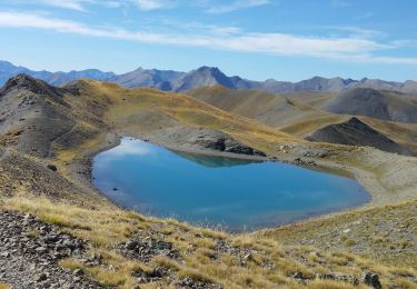
crête des Couniets, lac de l'étoile


Walking
Medium
Vars,
Provence-Alpes-Côte d'Azur,
Hautes-Alpes,
France

15.6 km | 29 km-effort
7h 32min
Yes
crêtes de Vars


Walking
Easy
Vars,
Provence-Alpes-Côte d'Azur,
Hautes-Alpes,
France

8.4 km | 16.6 km-effort
4h 30min
Yes
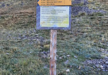
Mortices sud et nord


Walking
Difficult
Vars,
Provence-Alpes-Côte d'Azur,
Hautes-Alpes,
France

14.6 km | 28 km-effort
10h 34min
Yes


 SityTrail


