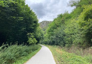
17.2 km | 20 km-effort
Randonnée nocturne Guimbault
slyb14
User
Length
22 km
Max alt
136 m
Uphill gradient
321 m
Km-Effort
27 km
Min alt
8 m
Downhill gradient
279 m
Boucle
No
Creation date :
2023-08-16 18:23:27.0
Updated on :
2023-08-16 19:54:13.591
FREE GPS app for hiking
About
Trail of 22 km to be discovered at Normandy, Calvados, Boulon. This trail is proposed by slyb14.
Description
Avec Jeremy et Simon
Positioning
Country:
France
Region :
Normandy
Department/Province :
Calvados
Municipality :
Boulon
Location:
Unknown
Start:(Dec)
Start:(UTM)
689806 ; 5437758 (30U) N.
Comments
Trails nearby
GC745R5 = https://coord.info/GC745R5
Geocaching
Easy
Barbery,
Normandy,
Calvados,
France
6.5 km | 7.5 km-effort
2h 40min
Yes
les mines d'or....ne 2016 65 km
Mountain bike
Medium
(1)
May-sur-Orne,
Normandy,
Calvados,
France
65 km | 79 km-effort
5h 4min
Yes
COUDRAY 20 KM
Walking
Difficult
(2)
Maizet,
Normandy,
Calvados,
France
19.8 km | 25 km-effort
5h 26min
Yes
Xtrem Vtt Normandie 2013 - Amayé Sur Orne
Mountain bike
Difficult
Amayé-sur-Orne,
Normandy,
Calvados,
France
45 km | 57 km-effort
2h 49min
Yes
reco mouss 27 12 13
Running
Very easy
(1)
Mutrécy,
Normandy,
Calvados,
France
5.7 km | 7.6 km-effort
1h 59min
No
Autour de Vieux la Romaine
sport
Very easy
Vieux,
Normandy,
Calvados,
France
35 km | 40 km-effort
Unknown
No
Voie verte suisse normande
Road bike
Easy
Montillières-sur-Orne,
Normandy,
Calvados,
France
47 km | 53 km-effort
4h 14min
Yes