Trail Walking Entrevaux - Circuit de la Citadelle d'Entrevaux - Photo
© OpenStreetMap contributors
Length
Length
7 km
Max alt
Max alt
797 m
Uphill gradient
Uphill gradient
419 m
Km-Effort
Km-Effort  
12.6 km
Min alt
Min alt
469 m
Downhill gradient
Downhill gradient
419 m
Boucle
Boucle
Yes
Creation date :
2023-08-16 17:10:30.012
Updated on :
2023-08-16 17:29:23.097

(0 Reviews)

Walking
Walking
2h51
Difficulty : Difficult

Scan this QR Code to open this trail in the SityTrail application

FREE GPS app for hiking

Logo SityTrail SityTrail

IGN / Geographical institutes

Download SityTrail from the App Store Download SityTrail from Google Play

Logo SityTrail SityTrail World

The world is yours!

Download SityTrail from the App Store Download SityTrail from Google Play Download SityTrail on Huawei AppGallery

About

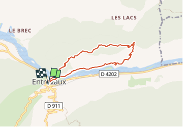
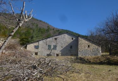
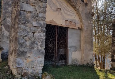
Trail Walking of 7 km to be discovered at Provence-Alpes-Côte d'Azur, Alpes-de-Haute-Provence, Entrevaux. This trail is proposed by santaflor.

Description

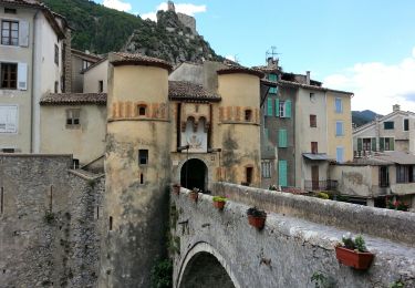
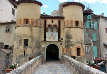
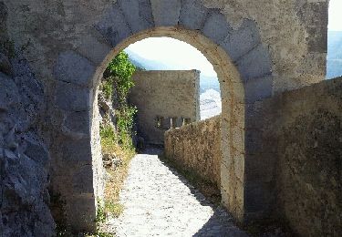
Aprés la montée de la Porte Royale ,prendre par la droite le Chemin des Oliviers
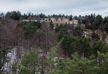
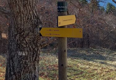
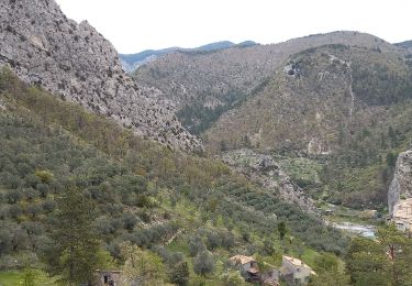
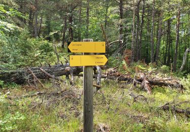
qui longe le fleuve.Remonter en direction du lieu-dit Les Lacs.A l'intersection,partir sur la gauche jusqu'à la citadelle,d'où la vue panoramique sur la vallée est magnifique.Puis redescendre vers le village médiéval .Visite de la Citadelle et du village .

Elevation profile

Positioning

Country:
France
Region :
Provence-Alpes-Côte d'Azur
Department/Province :
Alpes-de-Haute-Provence
Municipality :
Entrevaux
Location:
Unknown
Start:(UTM)
324266 ; 4868573 (32T) N.

Trails nearby

Trail Walking Entrevaux - Rando Le PlanPontStJoseph  - Photo
Walking
Marchopier

Walking

Easy
Entrevaux, Provence-Alpes-Côte d'Azur, Alpes-de-Haute-Provence, France
12 km | 21 km-effort
7h 26min
No
Trail Walking Entrevaux - Entrevaux - Photo
Walking
lascaux

Walking

Medium
Entrevaux, Provence-Alpes-Côte d'Azur, Alpes-de-Haute-Provence, France
6.8 km | 12.2 km-effort
2h 53min
Yes
Trail Walking Entrevaux - Bas-Agnerc Le Pelau - Photo
Walking
Marchopier

Walking

Medium
Entrevaux, Provence-Alpes-Côte d'Azur, Alpes-de-Haute-Provence, France
14.1 km | 26 km-effort
6h 35min
Yes
Trail Walking Entrevaux - Bay - Photo
Walking
Marchopier

Walking

Easy
Entrevaux, Provence-Alpes-Côte d'Azur, Alpes-de-Haute-Provence, France
10.5 km | 18 km-effort
4h 36min
Yes
Trail Walking Entrevaux - entrevaux  bas summaure  haut argnec - Photo
Walking
montagne06

Walking

Difficult
Entrevaux, Provence-Alpes-Côte d'Azur, Alpes-de-Haute-Provence, France
16.6 km | 27 km-effort
5h 59min
Yes
Trail Walking Entrevaux - Entrevaux - vers Le Brec 2 - AR - 2016 06 18 - Photo
Walking
GUIDE
Orcal37

Walking

Very easy
Entrevaux, Provence-Alpes-Côte d'Azur, Alpes-de-Haute-Provence, France
8.1 km | 9.7 km-effort
2h 5min
Yes
Trail Walking Entrevaux - Entrevaux - 2016 06 16 - Photo
Walking
GUIDE
Orcal37

Walking

Easy
Entrevaux, Provence-Alpes-Côte d'Azur, Alpes-de-Haute-Provence, France
5.3 km | 7.8 km-effort
3h 0min
Yes
Trail Walking Entrevaux - le coins - Photo
Walking
PEBREJOSIANE

Walking

Easy
(1)
Entrevaux, Provence-Alpes-Côte d'Azur, Alpes-de-Haute-Provence, France
7 km | 12.7 km-effort
2h 46min
Yes
Trail Walking Entrevaux - Chapelle St-Pierre Bas Sumaure - Photo
Walking
dan0406

Walking

Medium
Entrevaux, Provence-Alpes-Côte d'Azur, Alpes-de-Haute-Provence, France
4.8 km | 10.7 km-effort
2h 26min
No


Close
My subscriptions