


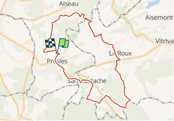

9.2 km | 11.5 km-effort

User


FREE GPS app for hiking
 SityTrail
IGN / Geographical institutes
SityTrail World
The world is yours!
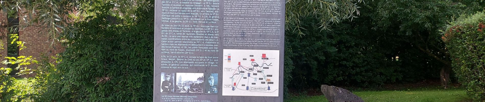
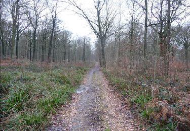
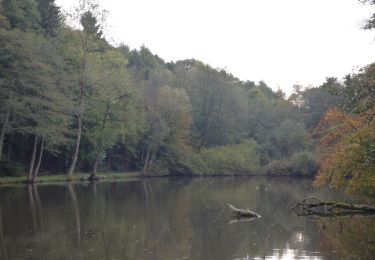
Trail Walking of 18.9 km to be discovered at Wallonia, Hainaut, Aiseau-Presles. This trail is proposed by jeangulu.
Organisateur : HT 006 _ CLUB PÉDESTRE ÉCUREUIL DE CHATELET.
- 3ème Marche des Mirabelles.
Point de départ : École Saint Joseph _ Rue des Prés Burniaux _ 6250 - PRESLES.
Carte IGN : 47/5


Walking

Walking
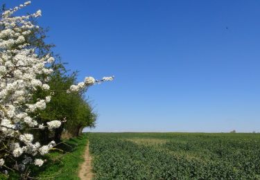
Walking
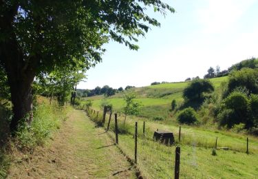
Walking
Walking
Walking
On foot
Walking
Walking