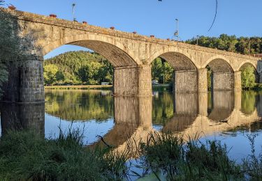
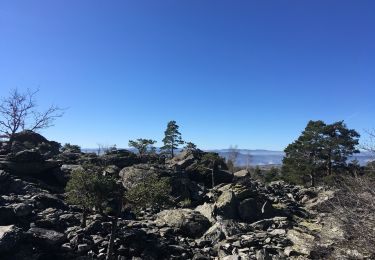
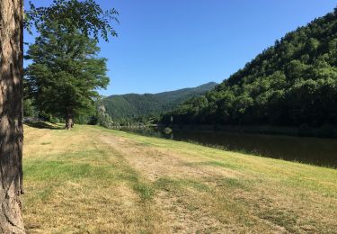
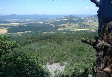
Trail Electric bike Retournac - retournac  - Photo
 balmes
balmes

User

© OpenStreetMap contributors
Length
Length
29 km
Max alt
Max alt
1009 m
Uphill gradient
Uphill gradient
819 m
Km-Effort
Km-Effort  
40 km
Min alt
Min alt
497 m
Downhill gradient
Downhill gradient
774 m
Boucle
Boucle
No
Creation date :
2023-08-12 10:13:15.382
Updated on :
2023-08-12 14:16:59.914

(0 Reviews)

Electric bike
Electric bike
3h23
Difficulty : Very easy

Scan this QR Code to open this trail in the SityTrail application

FREE GPS app for hiking

Logo SityTrail SityTrail

IGN / Geographical institutes

Download SityTrail from the App Store Download SityTrail from Google Play

Logo SityTrail SityTrail World

The world is yours!

Download SityTrail from the App Store Download SityTrail from Google Play Download SityTrail on Huawei AppGallery

About

Trail Electric bike of 29 km to be discovered at Auvergne-Rhône-Alpes, Haute-Loire, Retournac. This trail is proposed by balmes.

Description

vtc électrique. 820m de deniv

Elevation profile

Positioning

Country:
France
Region :
Auvergne-Rhône-Alpes
Department/Province :
Haute-Loire
Municipality :
Retournac
Location:
Unknown
Start:(UTM)
581580 ; 5005561 (31T) N.

Trails nearby

Trail Walking Retournac - boucle de  retournac - Photo
Walking
famillerudent

Walking

Medium
Retournac, Auvergne-Rhône-Alpes, Haute-Loire, France
5.5 km | 6.5 km-effort
1h 50min
Yes
Trail Walking Rosières - Tour du mont Jalore via Roiron - Photo
Walking
isa43

Walking

Medium
Rosières, Auvergne-Rhône-Alpes, Haute-Loire, France
6.8 km | 10 km-effort
1h 49min
Yes
Trail Walking Beauzac - 2019 09 15 Vaures - Photo
Walking
psesjs

Walking

Easy
Beauzac, Auvergne-Rhône-Alpes, Haute-Loire, France
7.1 km | 10.7 km-effort
2h 19min
Yes
Trail Walking Beauzac - Chapelle du Fraisse - Photo
Walking
bloomdido

Walking

Medium
Beauzac, Auvergne-Rhône-Alpes, Haute-Loire, France
21 km | 0 m-effort
1h 40min
No
Trail Walking Retournac - Bords de Loire à Retournac - Photo
Walking
bloomdido

Walking

Easy
Retournac, Auvergne-Rhône-Alpes, Haute-Loire, France
5.8 km | 6.9 km-effort
1h 15min
Yes
Trail Walking Rosières - les deux panoramas de Jalore - Photo
Walking
phila128

Walking

Medium
Rosières, Auvergne-Rhône-Alpes, Haute-Loire, France
14.7 km | 22 km-effort
4h 35min
Yes
Trail sport Chamalières-sur-Loire - Cavalière sur Loire - Photo
sport
Banaszak

sport

Very easy
Chamalières-sur-Loire, Auvergne-Rhône-Alpes, Haute-Loire, France
8.6 km | 12.4 km-effort
Unknown
Yes
Trail Walking Beaux - 01 - Photo
Walking
ccmirage

Walking

Difficult
Beaux, Auvergne-Rhône-Alpes, Haute-Loire, France
9.2 km | 13.4 km-effort
1h 21min
No
Trail 4x4 Yssingeaux - téléthon Yssingeaux 2021 - Photo
4x4
tribuland

4x4

Very easy
Yssingeaux, Auvergne-Rhône-Alpes, Haute-Loire, France
46 km | 63 km-effort
4h 17min
No


Close
My subscriptions