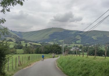
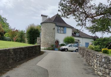
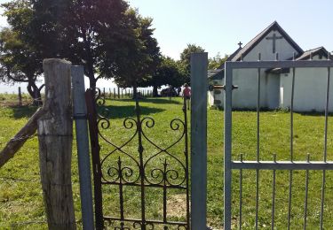
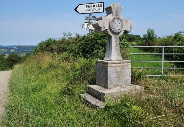
9.2 km | 14.1 km-effort
Pagolle G3 2023
LouisROGER
User GUIDE
Length
10 km
Max alt
428 m
Uphill gradient
374 m
Km-Effort
15 km
Min alt
148 m
Downhill gradient
374 m
Boucle
Yes
Creation date :
2023-08-11 07:49:45.209
Updated on :
2023-08-11 13:25:36.218
5h32
Difficulty : Difficult
FREE GPS app for hiking
About
Trail Walking of 10 km to be discovered at New Aquitaine, Pyrénées-Atlantiques, Pagolle. This trail is proposed by LouisROGER.
Positioning
Country:
France
Region :
New Aquitaine
Department/Province :
Pyrénées-Atlantiques
Municipality :
Pagolle
Location:
Unknown
Start:(Dec)
Start:(UTM)
663315 ; 4787740 (30T) N.
Comments
Trails nearby
G4 Pagolle gastellusare la chapelle
Walking
Difficult
(1)
Pagolle,
New Aquitaine,
Pyrénées-Atlantiques,
France
3h 12min
Yes
Balade autour d'Arhansus
Walking
Medium
(1)
Arhansus,
New Aquitaine,
Pyrénées-Atlantiques,
France
6.1 km | 8.9 km-effort
2h 0min
Yes
MUSCULUDY du col d'Osquich à la chapelle Saint-Antoine "4157793"
Walking
Difficult
Musculdy,
New Aquitaine,
Pyrénées-Atlantiques,
France
9.3 km | 13.4 km-effort
2h 51min
No
ORDIARP la chapelle st Gregoire G3 4082977
Walking
Difficult
Ordiarp,
New Aquitaine,
Pyrénées-Atlantiques,
France
11.9 km | 17 km-effort
3h 28min
Yes
PAGOLLE et la chapelle St gregoire G3 "3767853"
Walking
Difficult
Pagolle,
New Aquitaine,
Pyrénées-Atlantiques,
France
10.3 km | 15.3 km-effort
3h 28min
Yes
G4 pagolle Gastelusare 2023
Walking
Difficult
Pagolle,
New Aquitaine,
Pyrénées-Atlantiques,
France
9.6 km | 14.6 km-effort
3h 19min
Yes
ORDIARP le Kaskaborro G4 4079186
Walking
Difficult
Ordiarp,
New Aquitaine,
Pyrénées-Atlantiques,
France
10.1 km | 13.4 km-effort
3h 6min
Yes
MUSCULDY col d'Osquich journée des presidents et animateurs du 9/11/2024 "418...
On foot
Easy
Musculdy,
New Aquitaine,
Pyrénées-Atlantiques,
France
5.9 km | 8.9 km-effort
2h 45min
Yes
chapelle st Antoine
Walking
Medium
Musculdy,
New Aquitaine,
Pyrénées-Atlantiques,
France
11.8 km | 21 km-effort
3h 58min
Yes