


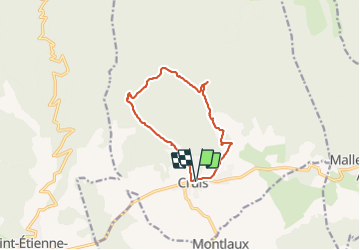

13 km | 19.9 km-effort

User


FREE GPS app for hiking
 SityTrail
IGN / Geographical institutes
SityTrail World
The world is yours!
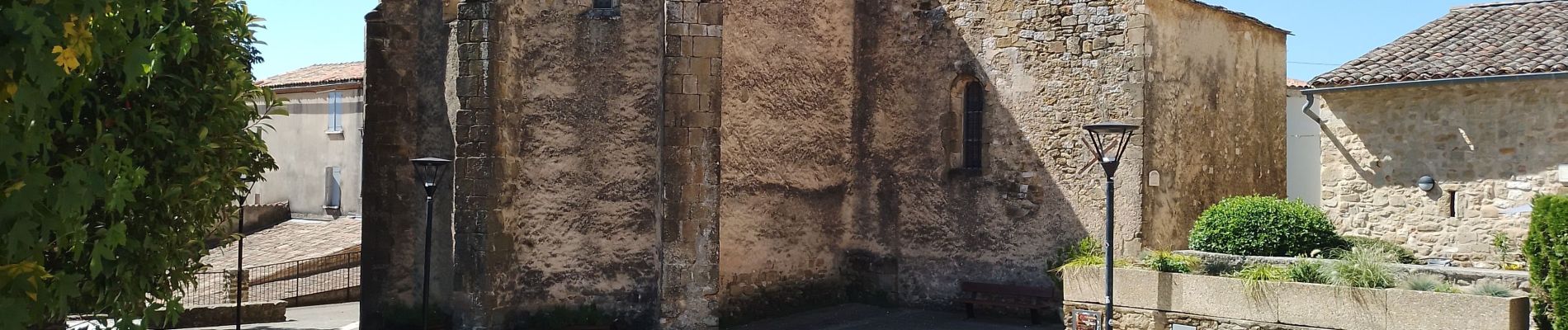
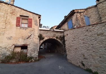
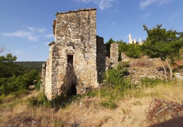
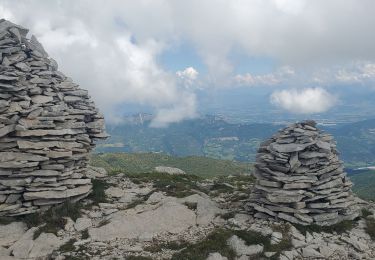
Trail Walking of 11.4 km to be discovered at Provence-Alpes-Côte d'Azur, Alpes-de-Haute-Provence, Cruis. This trail is proposed by Roger .
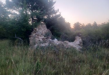
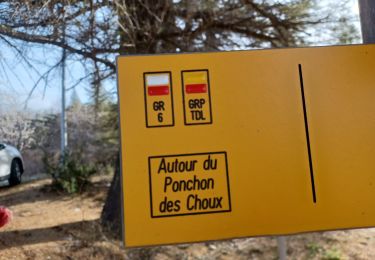
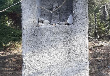
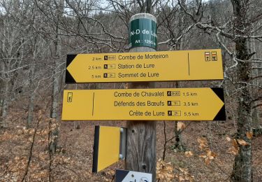
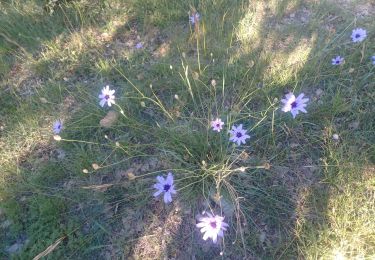
jas roche , derrives , de pierres feu , neuf . belle randonnée. attention ⚠️ au jas de roche on prend la piste , mais il faut la quitter tout de suite pour un sentier difficile à voir


Walking
Walking
Walking
Walking
Walking
Walking

Walking
Walking
Walking