6.7 km | 8.9 km-effort
Glanville13
papylou7
User
Length
13.3 km
Max alt
130 m
Uphill gradient
278 m
Km-Effort
17 km
Min alt
38 m
Downhill gradient
273 m
Boucle
Yes
Creation date :
2023-08-10 06:42:51.0
Updated on :
2023-08-10 06:42:52.328
FREE GPS app for hiking
About
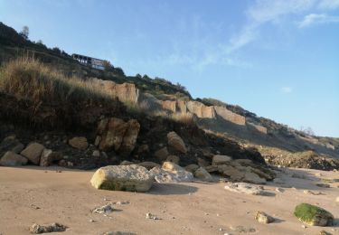
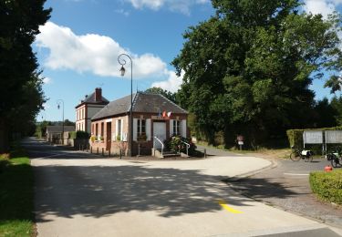
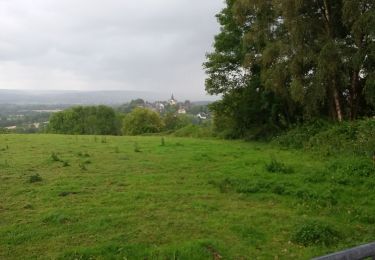
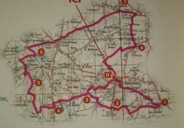
Trail of 13.3 km to be discovered at Normandy, Calvados, Glanville. This trail is proposed by papylou7.
Positioning
Country:
France
Region :
Normandy
Department/Province :
Calvados
Municipality :
Glanville
Location:
Unknown
Start:(Dec)
Start:(UTM)
286777 ; 5463354 (31U) N.
Comments
Trails nearby
2017-08-15 Rando Beaumont en Auge - Dans les pas de Laplace
Walking
Easy
(1)
Beaumont-en-Auge,
Normandy,
Calvados,
France
1h 54min
Yes
CRAB : Tourgéville - Deauville
Walking
Medium
Tourgéville,
Normandy,
Calvados,
France
18 km | 22 km-effort
3h 48min
Yes
Beaumont en auge
Walking
Easy
Beaumont-en-Auge,
Normandy,
Calvados,
France
15.2 km | 18.1 km-effort
4h 13min
Yes
villers les vaches noires, le Montcel
Walking
Very difficult
Villers-sur-Mer,
Normandy,
Calvados,
France
17.5 km | 20 km-effort
3h 7min
Yes
Boucle St Étienne - Beaumont - St Hymer - Pierrefitte - Pont-Leveque
Electric bike
Medium
Saint-Étienne-la-Thillaye,
Normandy,
Calvados,
France
24 km | 28 km-effort
1h 47min
No
Gaumont en auge
Walking
Very easy
Beaumont-en-Auge,
Normandy,
Calvados,
France
48 km | 60 km-effort
4h 54min
No
Beaumont St Azif
Walking
Medium
Beaumont-en-Auge,
Normandy,
Calvados,
France
19 km | 23 km-effort
5h 1min
Yes
beaumont en auge 26032017
Walking
Easy
Beaumont-en-Auge,
Normandy,
Calvados,
France
19.4 km | 24 km-effort
5h 12min
Yes
Beaumont 20 km
Mountain bike
Difficult
Beaumont-en-Auge,
Normandy,
Calvados,
France
20 km | 25 km-effort
1h 30min
Yes