


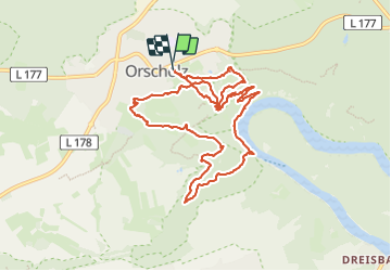


7.4 km | 8.8 km-effort

User GUIDE


FREE GPS app for hiking
 SityTrail
IGN / Geographical institutes
SityTrail World
The world is yours!
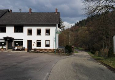
Trail Walking of 11.1 km to be discovered at Saarland, Landkreis Merzig-Wadern, Mettlach. This trail is proposed by dudu42.
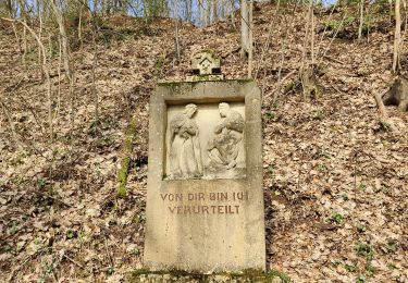
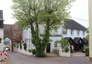
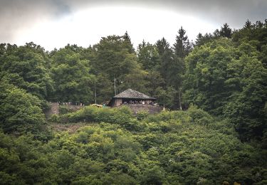
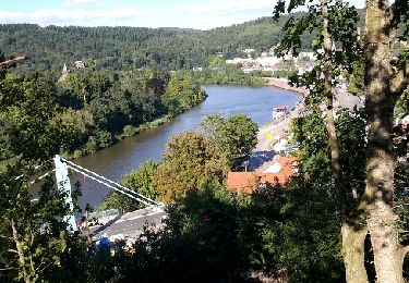
De superbes points de vue et un parcours au sein d'une forêt magnifique. Le chemin le long du fleuve est très agréable a emprunter. Pour 12€50 , vous pouvez accéder à la plateforme d'observation qui offre un point de vue incomparable !


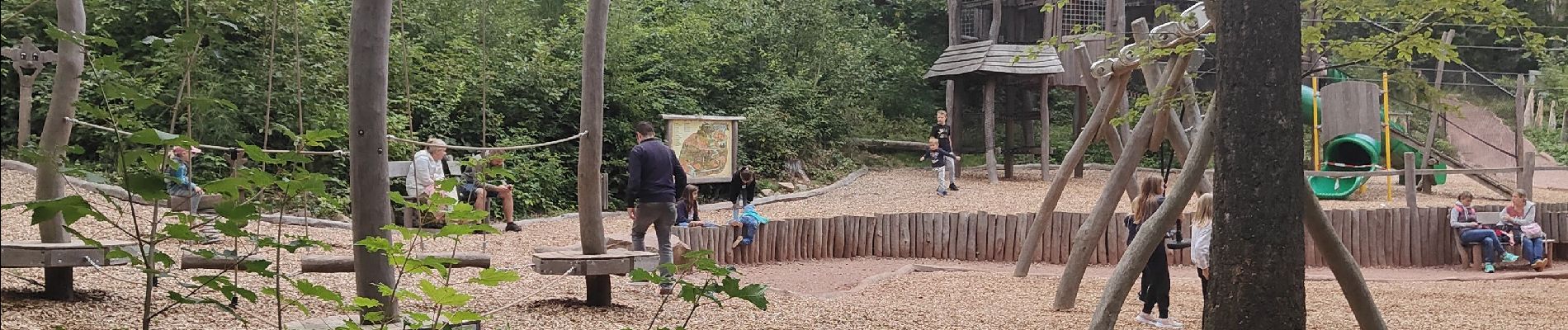
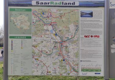
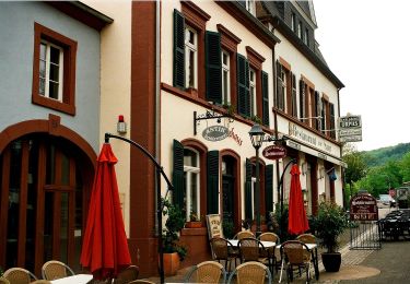
48 photos in total. Please click on a photo to see them all in the gallery.
Walking
On foot

On foot
Walking
On foot
On foot
Walking
On foot

Bicycle tourism