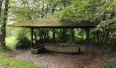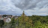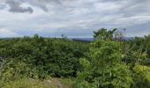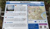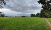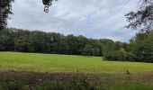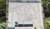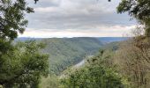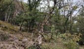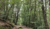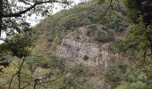

Randonnée au dessus de la boucle de la Sarre

dudu42
User GUIDE

Length
11.1 km

Max alt
405 m

Uphill gradient
335 m

Km-Effort
15.6 km

Min alt
170 m

Downhill gradient
336 m
Boucle
Yes
Creation date :
2023-08-08 12:13:00.898
Updated on :
2023-08-08 15:19:07.337
2h45
Difficulty : Difficult

FREE GPS app for hiking
About
Trail Walking of 11.1 km to be discovered at Saarland, Landkreis Merzig-Wadern, Mettlach. This trail is proposed by dudu42.
Description
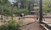
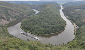
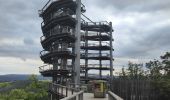
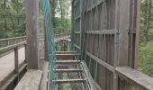
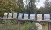
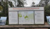
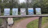
De superbes points de vue et un parcours au sein d'une forêt magnifique. Le chemin le long du fleuve est très agréable a emprunter. Pour 12€50 , vous pouvez accéder à la plateforme d'observation qui offre un point de vue incomparable !
Positioning
Country:
Germany
Region :
Saarland
Department/Province :
Landkreis Merzig-Wadern
Municipality :
Mettlach
Location:
Orscholz
Start:(Dec)
Start:(UTM)
321414 ; 5486616 (32U) N.
Comments
Trails nearby
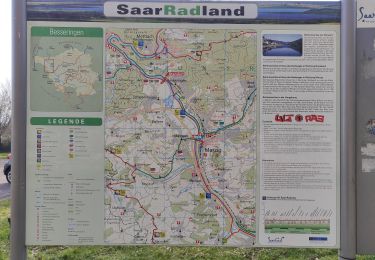
Méandres côté rive droite de la Sarre


Walking
Easy
Merzig,
Saarland,
Landkreis Merzig-Wadern,
Germany

7.4 km | 8.8 km-effort
1h 49min
No
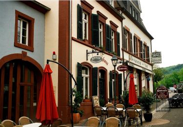
Verbindungsweg zum Europäischen Fernwanderweg E3


On foot
Easy
Mettlach,
Saarland,
Landkreis Merzig-Wadern,
Germany

3.5 km | 5.5 km-effort
1h 15min
No
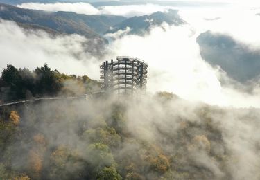
Mettlacher Tafeltour


On foot
Easy
Mettlach,
Saarland,
Landkreis Merzig-Wadern,
Germany

10.4 km | 15.6 km-effort
3h 33min
No
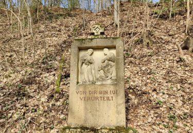
méandres de la Sarre


Walking
Easy
Mettlach,
Saarland,
Landkreis Merzig-Wadern,
Germany

5.8 km | 7.8 km-effort
44min
No
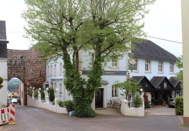
König-Johann-Runde


On foot
Easy
Freudenburg,
Rhineland-Palatinate,
Landkreis Trier-Saarburg,
Germany

11.9 km | 17.2 km-effort
3h 54min
Yes
Cloefpfad


On foot
Easy
Mettlach,
Saarland,
Landkreis Merzig-Wadern,
Germany

5.3 km | 8.3 km-effort
1h 53min
Yes
boucle de la sarre, mettlach


Walking
Medium
Mettlach,
Saarland,
Landkreis Merzig-Wadern,
Germany

19 km | 26 km-effort
6h 14min
Yes
Wehinger Viezpfad


On foot
Easy
Mettlach,
Saarland,
Landkreis Merzig-Wadern,
Germany

14.1 km | 19.9 km-effort
4h 32min
Yes

2023-07-30-Mettlach


Bicycle tourism
Very difficult
Mettlach,
Saarland,
Landkreis Merzig-Wadern,
Germany

52 km | 63 km-effort
Unknown
Yes


 SityTrail


