


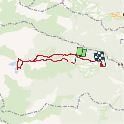

15.1 km | 24 km-effort

User


FREE GPS app for hiking
 SityTrail
IGN / Geographical institutes
SityTrail World
The world is yours!
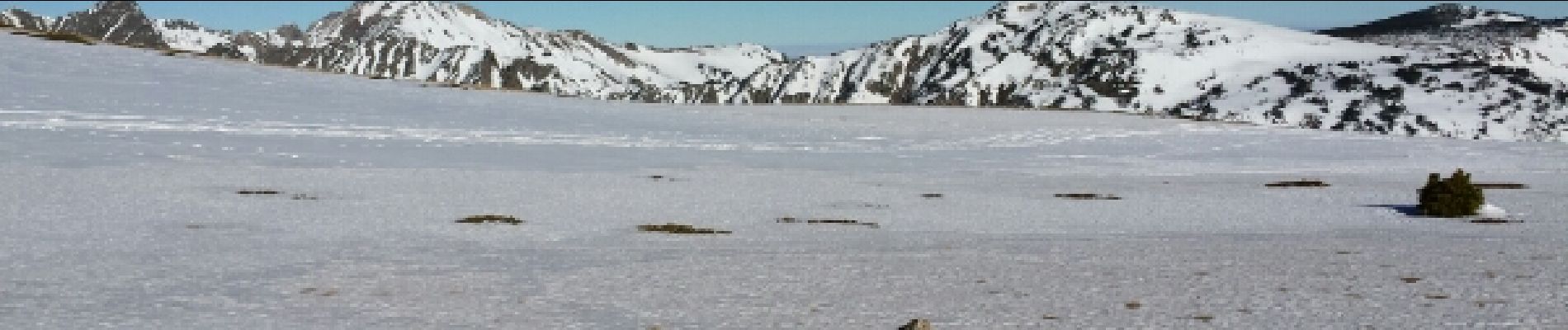
Trail Snowshoes of 11.6 km to be discovered at Occitania, Pyrénées-Orientales, Formiguères. This trail is proposed by MarieFrancoise.
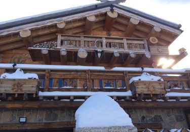
Prendre le télésiège à la station de Formiguères avant 9h du matin.
magnifique parcours
Retour en raquettes jusqu 'au parking de la station


Walking


sport

Walking

Walking

Snowshoes

Snowshoes
Snowshoes
Walking

Walking