


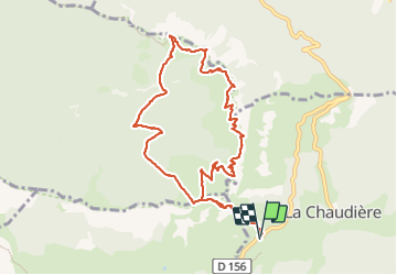

7.9 km | 11.2 km-effort

User


FREE GPS app for hiking
 SityTrail
IGN / Geographical institutes
SityTrail World
The world is yours!
Trail Walking of 11.4 km to be discovered at Auvergne-Rhône-Alpes, Drôme, La Chaudière. This trail is proposed by mzonzon05.
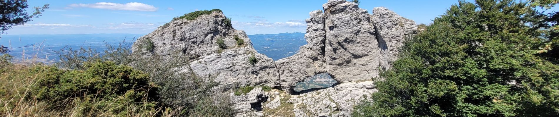
Magnifique balade, presque pavée et très bien balisée. De splendides vues sur le Vercors, le Diois et plus loin encore. Attention au vent ! Le pas de la laveuse porte bien son nom :))


Walking

Walking

Walking

Walking

Walking

Walking

Walking

Walking

Walking