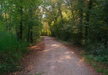
6.1 km | 6.6 km-effort
thannenkirch
Eddy Vincent
User
Length
41 km
Max alt
946 m
Uphill gradient
875 m
Km-Effort
52 km
Min alt
174 m
Downhill gradient
593 m
Boucle
No
Creation date :
2023-08-02 09:39:59.523
Updated on :
2023-08-05 13:21:22.042
4h51
Difficulty : Very difficult
FREE GPS app for hiking
About
Trail Walking of 41 km to be discovered at Grand Est, Haut-Rhin, Niederhergheim. This trail is proposed by Eddy Vincent.
Description
7 km dont les 4 premiers montants mais bon cardio
Positioning
Country:
France
Region :
Grand Est
Department/Province :
Haut-Rhin
Municipality :
Niederhergheim
Location:
Unknown
Start:(Dec)
Start:(UTM)
381010 ; 5315834 (32T) N.
Comments
Trails nearby
AMAELLES - MN 02/05/2024 - Logenlheim/Ste Croix
Nordic walking
Very easy
Logelheim,
Grand Est,
Haut-Rhin,
France
1h 46min
Yes
Herrlisheim près Colmar et son Fontainebleau
Walking
Very easy
Rouffach,
Grand Est,
Haut-Rhin,
France
6.5 km | 7.1 km-effort
1h 12min
Yes
Sortie vélo brax Chris
sport
Very easy
Sainte-Croix-en-Plaine,
Grand Est,
Haut-Rhin,
France
50 km | 61 km-effort
Unknown
Yes
Velo herr Laurent
sport
Very easy
Sainte-Croix-en-Plaine,
Grand Est,
Haut-Rhin,
France
24 km | 31 km-effort
Unknown
No
2021 03 26 Cross Appenwihr Espoir
Mountain bike
Medium
Appenwihr,
Grand Est,
Haut-Rhin,
France
22 km | 23 km-effort
1h 34min
Yes
2021 03 27 Cross Appenwihr Expert
Mountain bike
Medium
Appenwihr,
Grand Est,
Haut-Rhin,
France
26 km | 28 km-effort
1h 55min
Yes
2017 02 04 Cross Kastenwald
Other activity
Easy
Appenwihr,
Grand Est,
Haut-Rhin,
France
25 km | 27 km-effort
1h 48min
Yes