


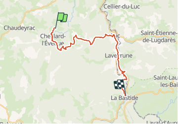

16.1 km | 22 km-effort


User


FREE GPS app for hiking
 SityTrail
IGN / Geographical institutes
SityTrail World
The world is yours!
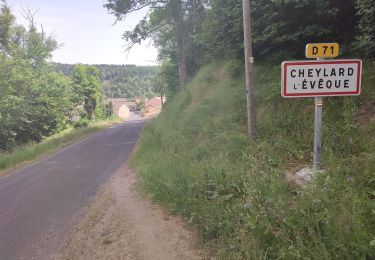
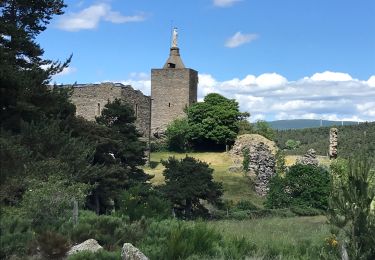
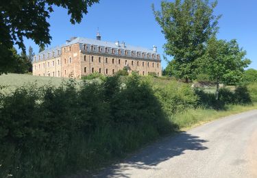
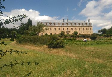
Trail Walking of 24 km to be discovered at Occitania, Lozère, Cheylard-l'Évêque. This trail is proposed by Nathalie. Mercier.
Etape 4
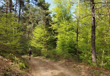
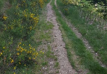
très beau chemin très peu de goudron
2 déviations le 1er causse éboulement, le 2 ème construction d une passerelle


Walking
Walking
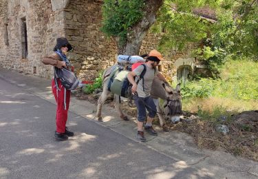
Walking
Walking
Walking
Walking

Mountain bike
Walking
Walking