


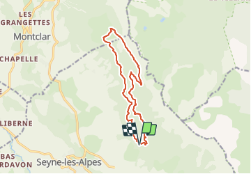

12.7 km | 21 km-effort


User


FREE GPS app for hiking
 SityTrail
IGN / Geographical institutes
SityTrail World
The world is yours!
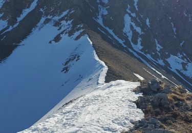
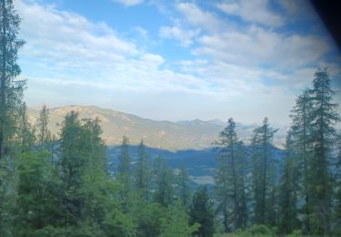
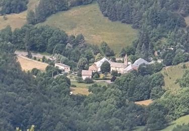
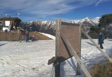
Trail Walking of 13.8 km to be discovered at Provence-Alpes-Côte d'Azur, Alpes-de-Haute-Provence, Seyne. This trail is proposed by Papige.
Départ du carrefour de Bellevue, sentier du GR, puis pistes jusqu’à la Chau. Retour par le sentier découverte puis pistes en passant par le clôt des Ayres.

Walking
Walking
Walking

Walking
Walking
Walking
Walking
Walking
Walking