


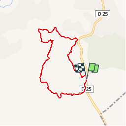

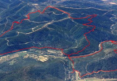
15.4 km | 22 km-effort

User


FREE GPS app for hiking
 SityTrail
IGN / Geographical institutes
SityTrail World
The world is yours!
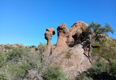
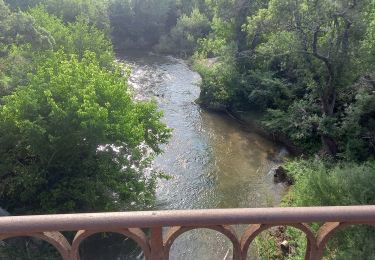
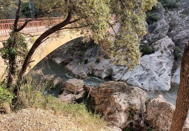
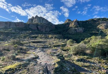
Trail Walking of 8.1 km to be discovered at Provence-Alpes-Côte d'Azur, Var, Le Muy. This trail is proposed by Sugg.
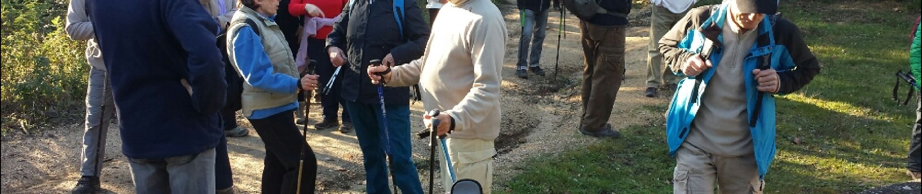
07-01-15 Rando pédestre de reprise en demi-journée avec Restons en Forme.
Guide : Pierre
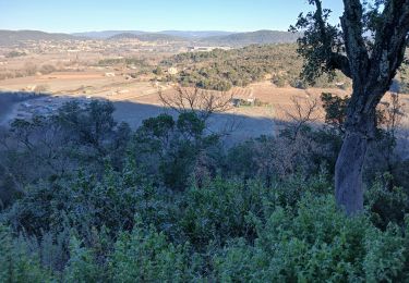
Beau temps, montées et descentes avec des gués bien sympa.
Rappel : le temps est calculé avec les poses.
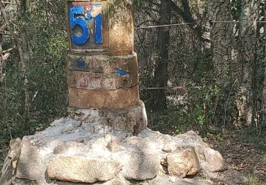
Départ D25 Route de St Maxime.


Walking

Walking
Walking
Walking
Walking

Walking
Walking
Walking
Walking