


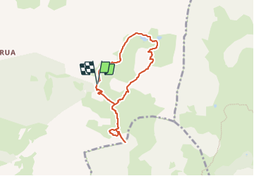

14.3 km | 25 km-effort


User


FREE GPS app for hiking
 SityTrail
IGN / Geographical institutes
SityTrail World
The world is yours!
Trail Walking of 7.1 km to be discovered at Provence-Alpes-Côte d'Azur, Hautes-Alpes, Saint-Crépin. This trail is proposed by Chocard-contemplatif.
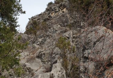
en partie hors sentier mais avec des drailles et des bouts de chemin quand s'est nécessaire
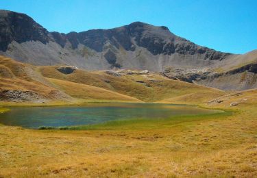
faire plutôt fin juin début juillet pour être sûr d'avoir les lacs supérieurs pleins surtout le deuxième
belle rando facile qui peut être faite en sens inverse
la petite montée au dessus du col après le deuxième lac permet d'avoir une belle vue sur les Lacs et le Pelvoux au loin
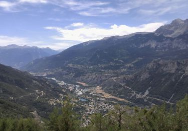
La route jusqu'au Grangettes est assez bonne
Walking
Walking

Walking
Walking
Walking
Walking
Walking

Walking
Walking