


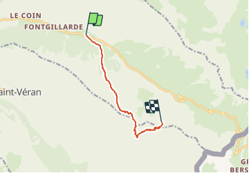

13.1 km | 23 km-effort


User


FREE GPS app for hiking
 SityTrail
IGN / Geographical institutes
SityTrail World
The world is yours!
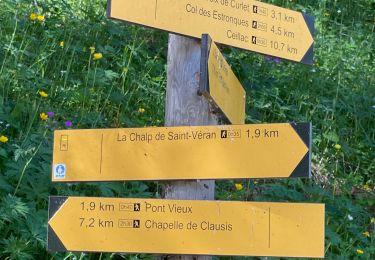
Trail Other activity of 8.6 km to be discovered at Provence-Alpes-Côte d'Azur, Hautes-Alpes, Molines-en-Queyras. This trail is proposed by CYCLOHC.
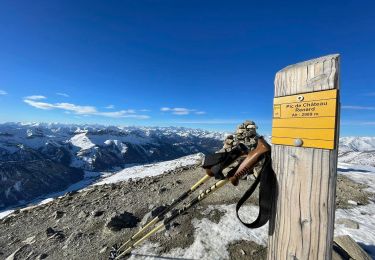
itinéraire de montée : Col du Longet - Pic Traversier - traversée sud et remontée vers Pointe des Sagnes longues. La descente (non eregistrée) se fait par la pente N-O classique.

Walking

Walking

Walking

Snowshoes
Snowshoes

Walking
Snowshoes
Walking
Walking