


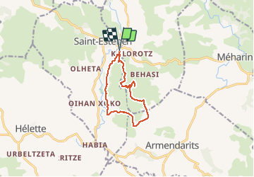


15.6 km | 22 km-effort


User


FREE GPS app for hiking
 SityTrail
IGN / Geographical institutes
SityTrail World
The world is yours!
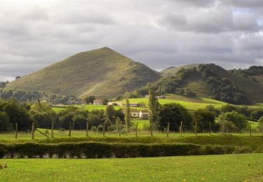
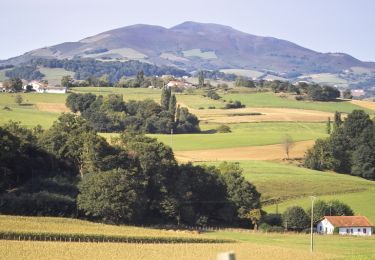
Trail Walking of 10.9 km to be discovered at New Aquitaine, Pyrénées-Atlantiques, Saint-Martin-d'Arberoue. This trail is proposed by DECHAMPD.
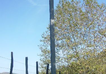
départ sortie St Estebe (garage) D14.Carricaburua sommet de l'Eltzarruze 421m, puis vallée jusqu'à Etchartéa, Chichabalé, col Herauzeko, descente vers réservoir, Uhaldégaraya, Ithurburukoborda,suivre chemin. effectué le 06/01/2015

Equestrian
Walking
Walking
Walking

Walking
Equestrian

Walking

Walking
Walking