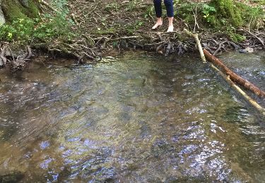
8.8 km | 12.8 km-effort
Wadelincourt
mjh
User
Length
18.9 km
Max alt
346 m
Uphill gradient
475 m
Km-Effort
25 km
Min alt
154 m
Downhill gradient
475 m
Boucle
Yes
Creation date :
2023-07-30 08:12:56.021
Updated on :
2023-07-30 14:38:09.855
5h05
Difficulty : Medium
FREE GPS app for hiking
About
Trail Walking of 18.9 km to be discovered at Grand Est, Ardennes, Wadelincourt. This trail is proposed by mjh.
Description
A proximité de Sedan
Positioning
Country:
France
Region :
Grand Est
Department/Province :
Ardennes
Municipality :
Wadelincourt
Location:
Unknown
Start:(Dec)
Start:(UTM)
639979 ; 5505414 (31U) N.
Comments
Trails nearby
20191006 Yeyette sur la voie verte à Sedan
Mountain bike
Sedan,
Grand Est,
Ardennes,
France
37 km | 44 km-effort
6h 23min
Yes
FORÊT DE GIVONNES
Walking
Easy
Givonne,
Grand Est,
Ardennes,
France
11.6 km | 14.6 km-effort
3h 26min
Yes
Fin de la voie verte Sedan - Mouzon
Road bike
Difficult
Sedan,
Grand Est,
Ardennes,
France
36 km | 39 km-effort
2h 22min
Yes
Bazeilles - Charleville - Mézières via Voie verte - Trans Ardennes
Road bike
Difficult
(1)
Remilly-Aillicourt,
Grand Est,
Ardennes,
France
37 km | 40 km-effort
2h 27min
No
Boucle de la croix piot, depuis Donchery
Walking
Medium
Donchery,
Grand Est,
Ardennes,
France
11.8 km | 17.1 km-effort
3h 42min
Yes
La marche de la division Margueritte
Electric bike
Medium
Floing,
Grand Est,
Ardennes,
France
9.4 km | 12.2 km-effort
Unknown
Yes
Les Deux Châteaux
Electric bike
Medium
Sedan,
Grand Est,
Ardennes,
France
53 km | 66 km-effort
Unknown
Yes