


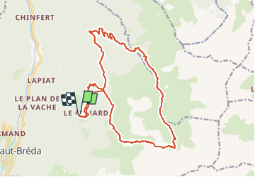

12.2 km | 28 km-effort

User GUIDE


FREE GPS app for hiking
 SityTrail
IGN / Geographical institutes
SityTrail World
The world is yours!
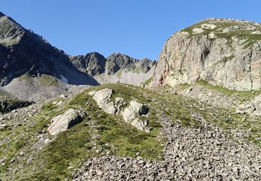
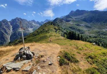
Trail Walking of 22 km to be discovered at Auvergne-Rhône-Alpes, Isère, Le Haut-Bréda. This trail is proposed by nadd73.
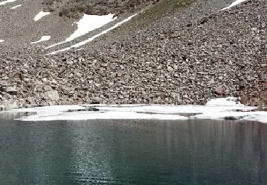
Départ de Gleyzin, col du Vay descente sur les lacs Bivouac.et retour par le barrage longue descente et surtout longue montée. Pour l'allée de la combe Jacques au col la montée est bien soutenue surtout bien chargée
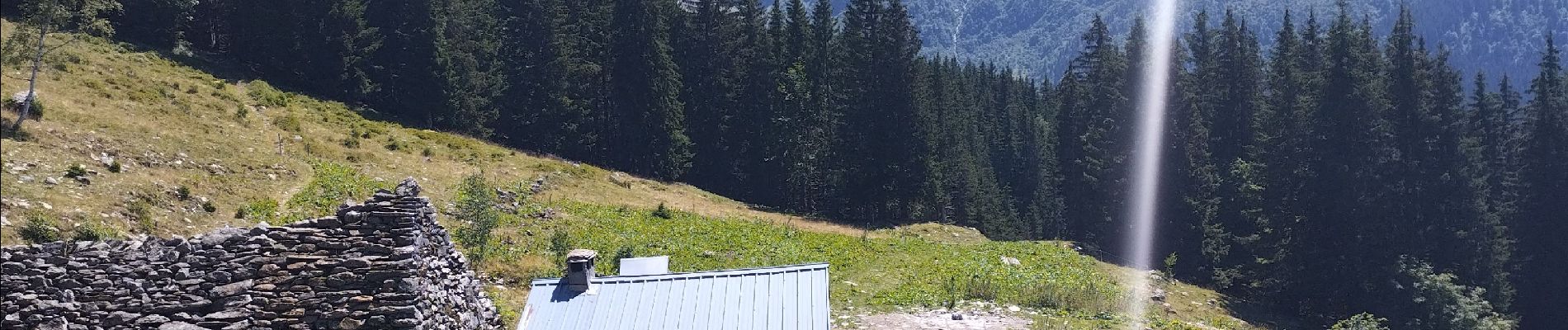
Très joli lieu.


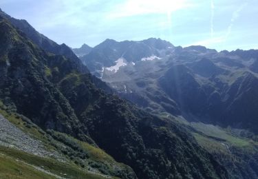
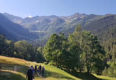
Walking
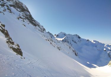
Touring skiing
Walking
Walking
Walking
Walking
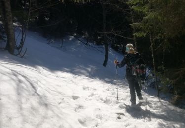
Snowshoes

On foot
Walking