


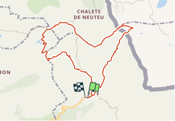

9.2 km | 22 km-effort

User


FREE GPS app for hiking
 SityTrail
IGN / Geographical institutes
SityTrail World
The world is yours!
Trail Walking of 10.7 km to be discovered at Auvergne-Rhône-Alpes, Upper Savoy, La Chapelle-d'Abondance. This trail is proposed by davvin13.
montée par le col de Floray, descente au lac de darbon, col de Pavis puis col de Bise, ensuite les crêtes jusqu'au col d'Ugeon.
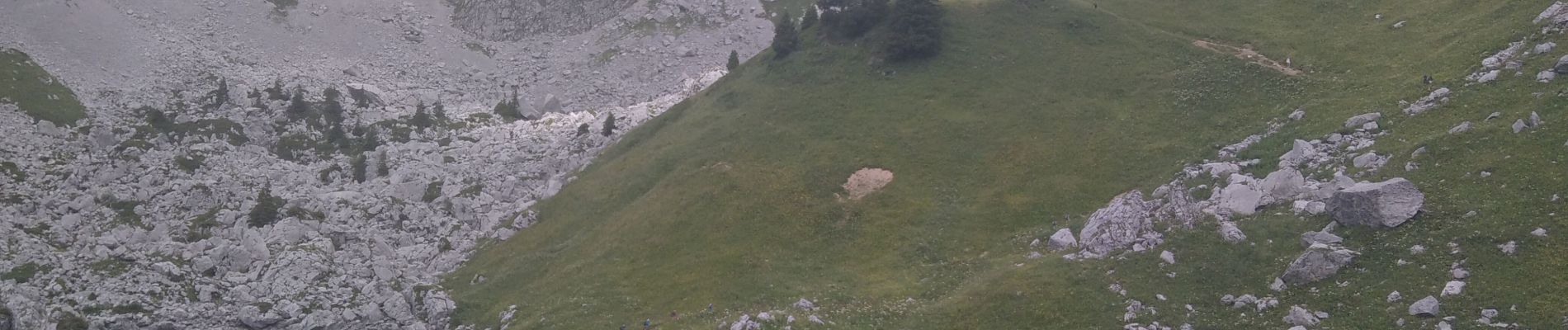
Rencontre avec une centaine de bouquetins, au lac, au col de Pavis et sur les crêtes.


Walking

Walking

Walking

Walking
Walking

Walking

Walking

Walking

Walking