10.4 km | 19.8 km-effort
gorge du riou
les virons
User
Length
1.6 km
Max alt
735 m
Uphill gradient
0 m
Km-Effort
1.9 km
Min alt
654 m
Downhill gradient
74 m
Boucle
No
Creation date :
2023-07-25 07:43:48.581
Updated on :
2023-07-25 08:17:28.472
33m
Difficulty : Easy
FREE GPS app for hiking
About
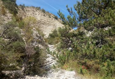
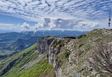
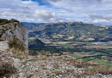
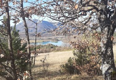
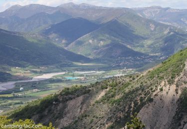
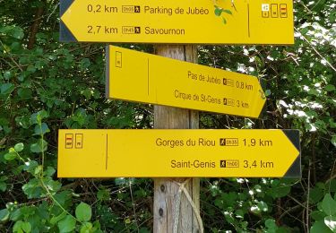
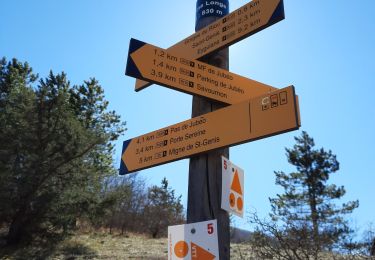
Trail Walking of 1.6 km to be discovered at Provence-Alpes-Côte d'Azur, Hautes-Alpes, Garde-Colombe. This trail is proposed by les virons.
Description
rando fzcile
Positioning
Country:
France
Region :
Provence-Alpes-Côte d'Azur
Department/Province :
Hautes-Alpes
Municipality :
Garde-Colombe
Location:
Unknown
Start:(Dec)
Start:(UTM)
720636 ; 4917929 (31T) N.
Comments
Trails nearby
Rocher de Jardanne
Walking
Medium
Serres,
Provence-Alpes-Côte d'Azur,
Hautes-Alpes,
France
4h 30min
Yes
Rocher de Beaumont
Walking
Difficult
Serres,
Provence-Alpes-Côte d'Azur,
Hautes-Alpes,
France
11.3 km | 23 km-effort
5h 19min
No
Revuaire
On foot
Difficult
Garde-Colombe,
Provence-Alpes-Côte d'Azur,
Hautes-Alpes,
France
12.1 km | 21 km-effort
4h 42min
Yes
R33 La Montagne de Saint Genis
Walking
Medium
Garde-Colombe,
Provence-Alpes-Côte d'Azur,
Hautes-Alpes,
France
11.4 km | 19.4 km-effort
3h 59min
Yes
Reco Jubeo + 250
Walking
Medium
Savournon,
Provence-Alpes-Côte d'Azur,
Hautes-Alpes,
France
10 km | 13.3 km-effort
3h 4min
Yes
Le réduire.. gorge du riou
Walking
Medium
Garde-Colombe,
Provence-Alpes-Côte d'Azur,
Hautes-Alpes,
France
12.1 km | 21 km-effort
5h 3min
Yes
Vieil Arzellier/Vieil Eyguians.21/02/21.
Walking
Easy
Laragne-Montéglin,
Provence-Alpes-Côte d'Azur,
Hautes-Alpes,
France
3.5 km | 4.7 km-effort
59min
No
SAINT GENIS Dep lac du Riou . Forte Sereine gorges du Riou o m s
Walking
Medium
Garde-Colombe,
Provence-Alpes-Côte d'Azur,
Hautes-Alpes,
France
10.6 km | 17.4 km-effort
3h 10min
Yes
Pas du Colombier
Mountain bike
Very difficult
Garde-Colombe,
Provence-Alpes-Côte d'Azur,
Hautes-Alpes,
France
29 km | 41 km-effort
3h 10min
Yes