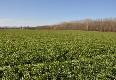
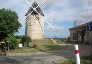
15.8 km | 17 km-effort
2023-MARMANDE -ST CYR LAPOPIE
Gbreuilh
User
Length
228 km
Max alt
267 m
Uphill gradient
2593 m
Km-Effort
262 km
Min alt
19 m
Downhill gradient
2384 m
Boucle
No
Creation date :
2023-07-23 16:37:40.721
Updated on :
2023-07-23 16:39:09.659
0m
Difficulty : Very easy
FREE GPS app for hiking
About
Trail Bicycle tourism of 228 km to be discovered at New Aquitaine, Lot-et-Garonne, Marmande. This trail is proposed by Gbreuilh.
Positioning
Country:
France
Region :
New Aquitaine
Department/Province :
Lot-et-Garonne
Municipality :
Marmande
Location:
Unknown
Start:(Dec)
Start:(UTM)
274110 ; 4931525 (31T) N.
Comments
Trails nearby
Marmande nocturne à VTT
Mountain bike
Easy
Marmande,
New Aquitaine,
Lot-et-Garonne,
France
1h 10min
Yes
De Marmande à Saint Pardoux du Breuil
Mountain bike
Easy
Marmande,
New Aquitaine,
Lot-et-Garonne,
France
13.8 km | 15.2 km-effort
1h 0min
Yes
Beaupuy, randonnée dans les vignobles du Marmandais - Pays Val de Garonne - G...
Equestrian
Difficult
Beaupuy,
New Aquitaine,
Lot-et-Garonne,
France
15 km | 19 km-effort
2h 34min
Yes
Beaupuy, randonnée dans les vignobles du Marmandais - Pays Val de Garonne - G...
Mountain bike
Medium
Beaupuy,
New Aquitaine,
Lot-et-Garonne,
France
15 km | 19 km-effort
1h 55min
Yes
Beaupuy, randonnée dans les vignobles du Marmandais - Pays Val de Garonne - G...
Walking
Difficult
Beaupuy,
New Aquitaine,
Lot-et-Garonne,
France
15 km | 19 km-effort
3h 49min
Yes
Gaujac, un village de plaine entre la Garonne et son Canal - Pays Val de Garo...
Mountain bike
Medium
Gaujac,
New Aquitaine,
Lot-et-Garonne,
France
9.2 km | 10.1 km-effort
1h 19min
Yes
Gaujac, un village de plaine entre la Garonne et son Canal - Pays Val de Garo...
Walking
Medium
Gaujac,
New Aquitaine,
Lot-et-Garonne,
France
9.2 km | 10.1 km-effort
2h 45min
Yes
Mas d'Agenais par sovelo et canal
Hybrid bike
Easy
Marmande,
New Aquitaine,
Lot-et-Garonne,
France
20 km | 23 km-effort
1h 30min
No
piste cyclable
Walking
Easy
Marmande,
New Aquitaine,
Lot-et-Garonne,
France
5.3 km | 5.8 km-effort
1h 2min
No