16 km | 29 km-effort
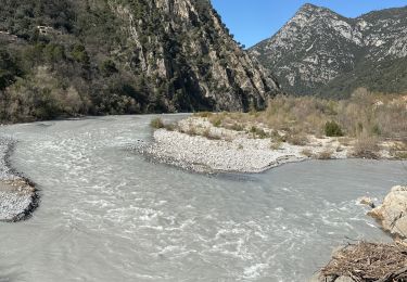
Gilette et les gorges de l'Estéron
PVERTICAL
User
Length
12.8 km
Max alt
435 m
Uphill gradient
689 m
Km-Effort
22 km
Min alt
143 m
Downhill gradient
693 m
Boucle
Yes
Creation date :
2023-07-21 14:38:48.825
Updated on :
2023-07-26 17:53:19.832
4h59
Difficulty : Medium
FREE GPS app for hiking
About
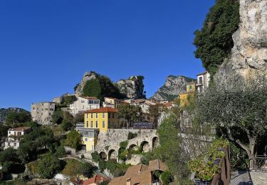
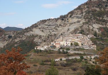
Trail Walking of 12.8 km to be discovered at Provence-Alpes-Côte d'Azur, Maritime Alps, Gilette. This trail is proposed by PVERTICAL.
Description
prévoir suffisamment d'eau (pas de source)
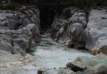
02 points d'eau pour se rafraichir ou se baigner (pont de cerise et la Clave)
Points of interest
Positioning
Country:
France
Region :
Provence-Alpes-Côte d'Azur
Department/Province :
Maritime Alps
Municipality :
Gilette
Location:
Unknown
Start:(Dec)
Start:(UTM)
352319 ; 4857116 (32T) N.
Comments
Trails nearby
Mouton d'Annou depuis lac du broc réel
Walking
Very difficult
Le Broc,
Provence-Alpes-Côte d'Azur,
Maritime Alps,
France
17 km | 30 km-effort
6h 52min
Yes
Le Chaudan Madone Utelle réel
Walking
Very difficult
Utelle,
Provence-Alpes-Côte d'Azur,
Maritime Alps,
France
19.6 km | 37 km-effort
5h 55min
Yes
Madone d'Utelle
On foot
Easy
Utelle,
Provence-Alpes-Côte d'Azur,
Maritime Alps,
France
9.9 km | 19.4 km-effort
4h 24min
Yes
Tour du mont Lion
On foot
Medium
Gilette,
Provence-Alpes-Côte d'Azur,
Maritime Alps,
France
13.4 km | 25 km-effort
5h 44min
Yes
Gorges de l'Estéron
On foot
Medium
Bouyon,
Provence-Alpes-Côte d'Azur,
Maritime Alps,
France
12 km | 22 km-effort
5h 3min
Yes
mouton d'anou depuis le broc
Walking
Easy
(1)
Le Broc,
Provence-Alpes-Côte d'Azur,
Maritime Alps,
France
14.3 km | 23 km-effort
5h 13min
Yes
Tourette du Château depuis Gilette
Walking
Difficult
Gilette,
Provence-Alpes-Côte d'Azur,
Maritime Alps,
France
18 km | 33 km-effort
7h 34min
Yes
Plan du Var-Tourrette du Château
Walking
Difficult
Bonson,
Provence-Alpes-Côte d'Azur,
Maritime Alps,
France
19.1 km | 35 km-effort
7h 50min
Yes