


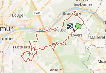

18.3 km | 25 km-effort

User


FREE GPS app for hiking
 SityTrail
IGN / Geographical institutes
SityTrail World
The world is yours!
Trail Walking of 21 km to be discovered at Wallonia, Namur, Namur. This trail is proposed by jeangulu.
Organisateur : NA 063 _ LES JOYEUX LURONS.
_3 ém Marche des LURONS.
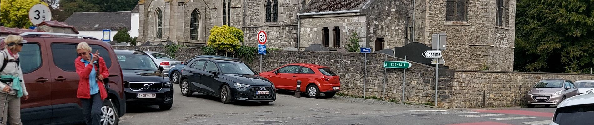
Point de départ : Salle Jean XXII _ Rue de Maizeret 28 _ 5101 - LOYERS ( NAMUR )..
Carte IGN : 47/4


Walking

Walking

Walking

Walking

Walking

Walking

Walking

Walking

Walking