


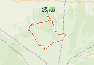

22 km | 29 km-effort


User


FREE GPS app for hiking
 SityTrail
IGN / Geographical institutes
SityTrail World
The world is yours!
Trail Walking of 19.3 km to be discovered at Sicily, Catania, Randazzo. This trail is proposed by marc.brunero.
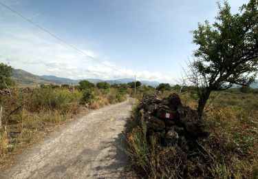
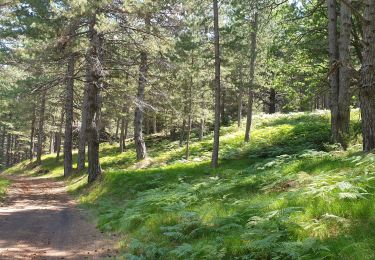
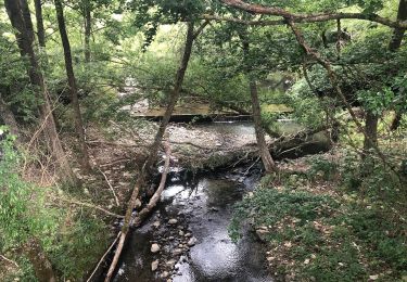
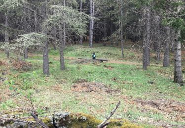
16 juillet.. magnifique : 2 serpents des lievres deux chercheurs de champignons quelques vaches.. et bien sur deux grottes , la première de la glace bien fraîche et la deuxième de jolie boyau creusé par la laveet une belle sieste à l'ombre.. il faut un pull une frontale...
On foot

On foot
Electric bike
On foot
On foot

On foot
On foot
On foot