


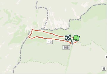


7.1 km | 9.4 km-effort

User


FREE GPS app for hiking
 SityTrail
IGN / Geographical institutes
SityTrail World
The world is yours!
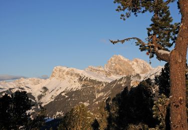
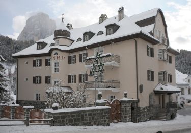
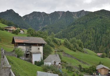
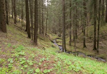
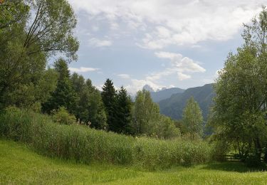
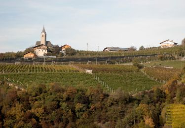
Trail Walking of 5.4 km to be discovered at Trentino-Alto Adige/Südtirol, South Tyrol, Urtijëi - St. Ulrich in Gröden - Ortisei. This trail is proposed by VacheKiri67.
Faite le 18/07/2023 avec nos amis Kristina et Wolfgang (76 et 75 ans). Montée et descente depuis St Ulrich (Ortisei
par le funiculaire.


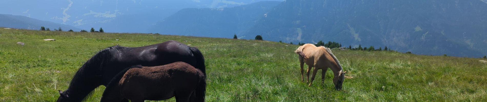
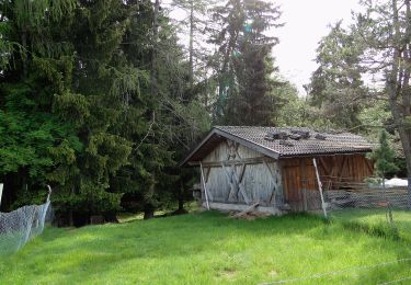
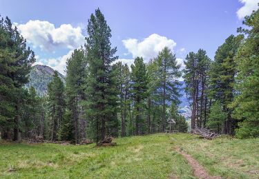
29 photos in total. Please click on a photo to see them all in the gallery.
On foot
On foot
On foot

On foot
On foot
On foot
On foot
On foot
On foot