


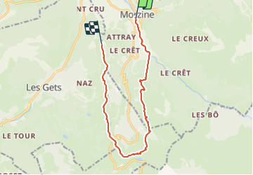

9.1 km | 26 km-effort

Parcours Randos, VTT-AE et Trail Running en été


FREE GPS app for hiking
 SityTrail
IGN / Geographical institutes
SityTrail World
The world is yours!
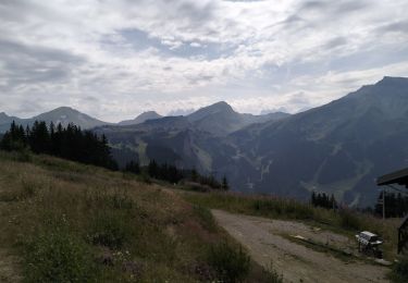
Trail Trail of 12.4 km to be discovered at Auvergne-Rhône-Alpes, Upper Savoy, Morzine. This trail is proposed by Les Portes du Soleil.

Walking
Walking

Walking

Walking

Walking

Walking
Walking

Nordic walking
Walking