


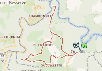

16.9 km | 24 km-effort

User GUIDE


FREE GPS app for hiking
 SityTrail
IGN / Geographical institutes
SityTrail World
The world is yours!
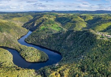
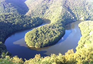
Trail Walking of 11.2 km to be discovered at Auvergne-Rhône-Alpes, Puy-de-Dôme, Queuille. This trail is proposed by jagarnier.
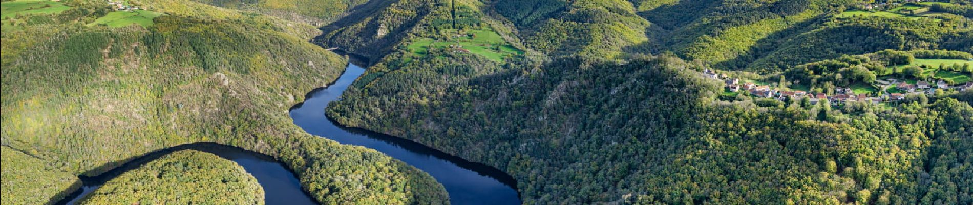
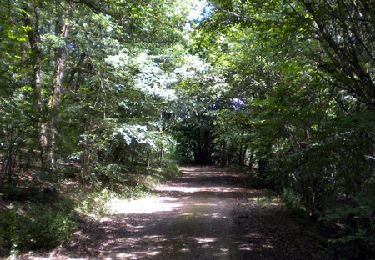
Cette balade est agréable par le cheminement sur un sentier qui serpente en forêt. Elle offre des vues magnifiques sur la vallée de la Sioule et deux retenues : Celle de Queuille, puis celle des Fades avec son viaduc.

On foot
On foot
Walking
On foot
On foot
On foot
Walking
Walking

Horseback riding