


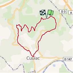

11.4 km | 12.9 km-effort


User


FREE GPS app for hiking
 SityTrail
IGN / Geographical institutes
SityTrail World
The world is yours!
Trail Walking of 8.3 km to be discovered at New Aquitaine, Corrèze, Cublac. This trail is proposed by caro94.
Belle randonnée entre monts et village. Prévoir les bottes car beaucoup de chemins boueux
Walking
Walking

Walking

Walking

Walking
Walking
Walking
Walking
Walking
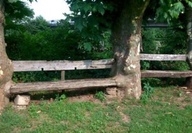
jolie ballade qui nous emmène sur les coteaux avec de belles vues et des passages en sous bois. cependant, évitez après un épisode pluvieux car très très boueux.
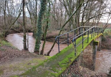
Rando intéressante à la découverte des vestiges d'anciennes mines. Nous sommes partis du village, ce qui est plus pratique.