


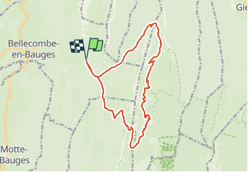

13.8 km | 27 km-effort

User


FREE GPS app for hiking
 SityTrail
IGN / Geographical institutes
SityTrail World
The world is yours!
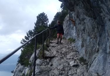
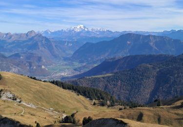
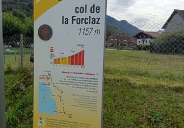
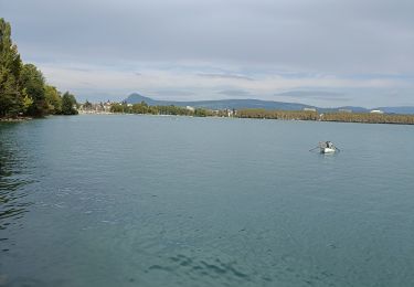
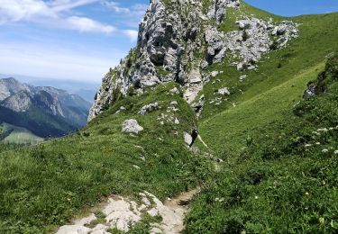
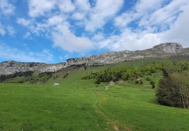
Trail Walking of 18.4 km to be discovered at Auvergne-Rhône-Alpes, Savoy, Bellecombe-en-Bauges. This trail is proposed by Zasa .
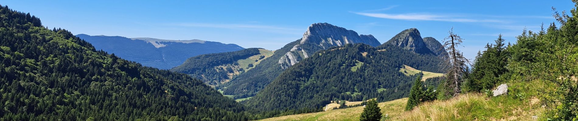
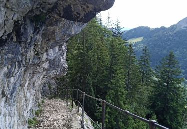
Très belle randonnée avec des points de vue magnifique. Une bonne condition physique est préférable, mais pas de grosse difficulté.


Walking
Touring skiing
Walking

Walking
Walking
Electric bike
Electric bike
Walking
Walking