


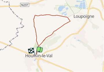

8.2 km | 9.3 km-effort

User


FREE GPS app for hiking
 SityTrail
IGN / Geographical institutes
SityTrail World
The world is yours!
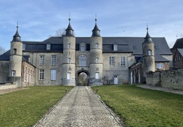
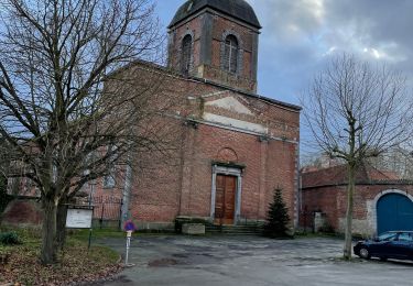
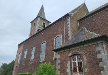
Trail Walking of 6 km to be discovered at Wallonia, Walloon Brabant, Genappe. This trail is proposed by Mady Lambert.
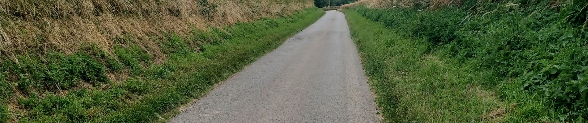
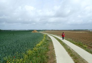
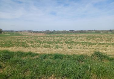
Promenade à travers champs, un peu de petites routes de campagne, retour en longeant la Waronche (bois).
Chiens obéissants en totale liberté.


On foot
Walking

Walking
Walking
Walking

Mountain bike

Mountain bike
Walking
Walking