15 km | 24 km-effort
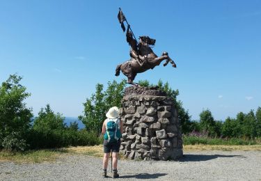
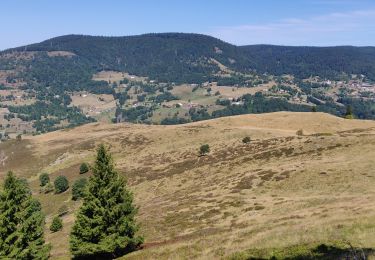
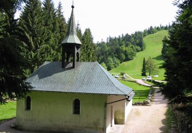
Plain de la Bouloie - Cascade de l'Ours - Plateau de la Conche - Chalet des Crêtes et retour par Lamerey
patrickbeyrath
User
Length
6.8 km
Max alt
1124 m
Uphill gradient
317 m
Km-Effort
11 km
Min alt
861 m
Downhill gradient
317 m
Boucle
Yes
Creation date :
2023-07-14 12:51:38.462
Updated on :
2023-07-14 15:31:02.774
2h30
Difficulty : Medium
FREE GPS app for hiking
About
Trail Walking of 6.8 km to be discovered at Grand Est, Vosges, Bussang. This trail is proposed by patrickbeyrath.
Positioning
Country:
France
Region :
Grand Est
Department/Province :
Vosges
Municipality :
Bussang
Location:
Unknown
Start:(Dec)
Start:(UTM)
340115 ; 5304660 (32T) N.
Comments
Trails nearby
Col de Bussang - Rouge Gazon - Séchenat
Walking
Difficult
(1)
Bussang,
Grand Est,
Vosges,
France
6h 0min
No
Tour du Ballon d'Alsace
Walking
Difficult
(1)
Saint-Maurice-sur-Moselle,
Grand Est,
Vosges,
France
10.5 km | 17.7 km-effort
5h 25min
Yes
Circuit de raquette de Bussang
Snowshoes
Difficult
(1)
Bussang,
Grand Est,
Vosges,
France
7.7 km | 11.2 km-effort
3h 0min
Yes
lac des perches marchettes
Walking
Medium
(1)
Storckensohn,
Grand Est,
Haut-Rhin,
France
11.9 km | 20 km-effort
4h 8min
Yes
SityTrail - 3248441 - documentxix745004916x3256137
Mountain bike
Medium
Saint-Maurice-sur-Moselle,
Grand Est,
Vosges,
France
21 km | 30 km-effort
2h 3min
Yes
activity_9407679223
Mountain bike
Medium
Bussang,
Grand Est,
Vosges,
France
21 km | 30 km-effort
2h 2min
Yes
2022-07-16 Marche Auberge Gazon Vert Chapelle des Ves
Walking
Very difficult
Storckensohn,
Grand Est,
Haut-Rhin,
France
21 km | 37 km-effort
6h 11min
No
Circuit de la Croix de l’Hermite par Forgoutte
On foot
Easy
Ventron,
Grand Est,
Vosges,
France
4.3 km | 6.6 km-effort
1h 29min
No
Bussang_20210918_101006
Mountain bike
Very easy
Bussang,
Grand Est,
Vosges,
France
30 km | 43 km-effort
Unknown
No