Trail Horseback riding Sainte-Montaine - 32,5 Sainte Montaine - Photo
 vickitan
vickitan

User

© OpenStreetMap contributors
Length
Length
33 km
Max alt
Max alt
212 m
Uphill gradient
Uphill gradient
293 m
Km-Effort
Km-Effort  
36 km
Min alt
Min alt
156 m
Downhill gradient
Downhill gradient
294 m
Boucle
Boucle
Yes
Creation date :
2023-07-13 17:39:26.602
Updated on :
2023-07-13 17:39:30.498

(0 Reviews)

Horseback riding
Horseback riding
4h48
Difficulty : Difficult

Scan this QR Code to open this trail in the SityTrail application

FREE GPS app for hiking

Logo SityTrail SityTrail

IGN / Geographical institutes

Download SityTrail from the App Store Download SityTrail from Google Play

Logo SityTrail SityTrail World

The world is yours!

Download SityTrail from the App Store Download SityTrail from Google Play Download SityTrail on Huawei AppGallery

About

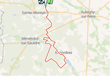
Trail Horseback riding of 33 km to be discovered at Centre-Loire Valley, Cher, Sainte-Montaine. This trail is proposed by vickitan.

Elevation profile

Positioning

Country:
France
Region :
Centre-Loire Valley
Department/Province :
Cher
Municipality :
Sainte-Montaine
Location:
Unknown
Start:(UTM)
450482 ; 5260753 (31T) N.

Trails nearby

Trail Horseback riding Sainte-Montaine - 25 km Sainte Montaine - Photo
Horseback riding
vickitan

Horseback riding

Medium
Sainte-Montaine, Centre-Loire Valley, Cher, France
25 km | 27 km-effort
3h 36min
Yes


Close
My subscriptions