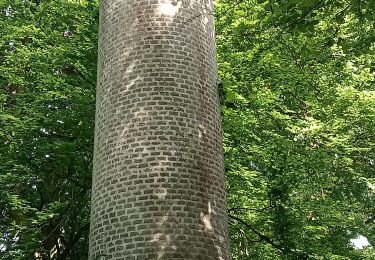
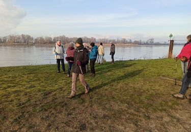
14.6 km | 18.6 km-effort
16 juillet 2023
Loic Agasse
User
Length
11 km
Max alt
133 m
Uphill gradient
222 m
Km-Effort
14 km
Min alt
9 m
Downhill gradient
213 m
Boucle
No
Creation date :
2023-07-08 15:23:55.43
Updated on :
2023-07-08 15:25:37.297
1h50
Difficulty : Easy
FREE GPS app for hiking
About
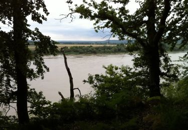
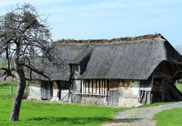
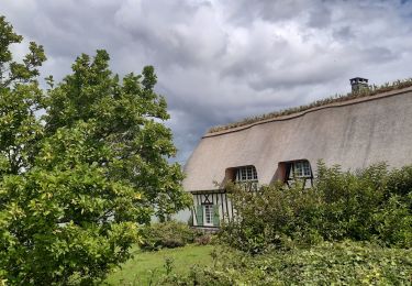
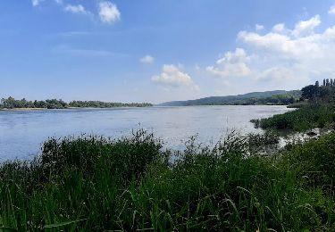
Trail Horseback riding of 11 km to be discovered at Normandy, Eure, Le Perrey. This trail is proposed by Loic Agasse.
Description
fin
Positioning
Country:
France
Region :
Normandy
Department/Province :
Eure
Municipality :
Le Perrey
Location:
Unknown
Start:(Dec)
Start:(UTM)
322723 ; 5475590 (31U) N.
Comments
Trails nearby
Randonnée à Trouville la Haule
Walking
Medium
(1)
Trouville-la-Haule,
Normandy,
Eure,
France
3h 19min
Yes
Chemin pédestre de l'Allée des Granges
On foot
Easy
Sainte-Opportune-la-Mare,
Normandy,
Eure,
France
6.4 km | 8.1 km-effort
1h 49min
Yes
Boucle de Bouquelon V1
Walking
Difficult
(1)
Bouquelon,
Normandy,
Eure,
France
13.3 km | 16.6 km-effort
3h 46min
Yes
Chemin des sources bleues
Walking
Medium
Aizier,
Normandy,
Eure,
France
7.3 km | 9.6 km-effort
2h 11min
Yes
Vieux-Port, de la forêt aux rives de la Seine
Walking
Medium
Aizier,
Normandy,
Eure,
France
4.8 km | 6.5 km-effort
1h 37min
Yes
Trouville la Haule . Chemin du Courval
Walking
Difficult
(1)
Trouville-la-Haule,
Normandy,
Eure,
France
11.8 km | 14.5 km-effort
3h 3min
Yes
Bourneville-sainte-Croix- Le petit Brotonne
Walking
Difficult
Bourneville-Sainte-Croix,
Normandy,
Eure,
France
14.1 km | 16.2 km-effort
3h 23min
Yes
chemin des Têtards
Walking
Medium
Le Perrey,
Normandy,
Eure,
France
7.8 km | 9.2 km-effort
2h 21min
Yes
les sources bleues
Walking
Very easy
(1)
Bourneville-Sainte-Croix,
Normandy,
Eure,
France
6.3 km | 8.4 km-effort
1h 45min
Yes