


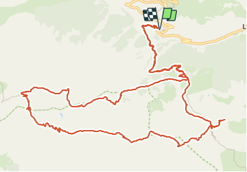

15.5 km | 30 km-effort

User


FREE GPS app for hiking
 SityTrail
IGN / Geographical institutes
SityTrail World
The world is yours!
Trail Walking of 18.2 km to be discovered at Provence-Alpes-Côte d'Azur, Maritime Alps, Saint-Dalmas-le-Selvage. This trail is proposed by GuyVachet.
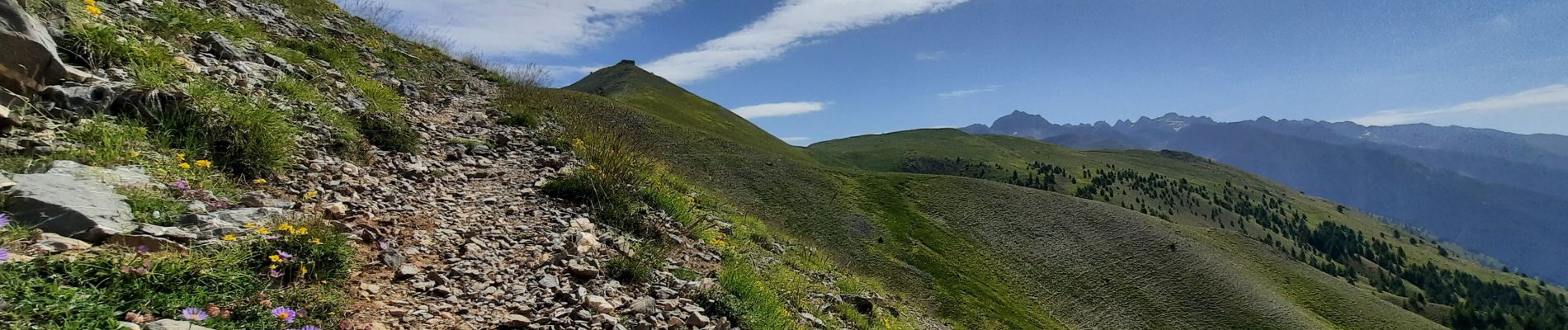
Très beau parcours en boucle pour parcourir cette crête entre les cols de la Colombière et de Colombart au départ de Bousiéyas. Le début de l'itinéraire est un large sentier et au Col de la Colombière, il faut quitter le GR5 (extension possible pour la Tête de Vinaigre) pour passer sous la Pointe Giassin. Le sentier étroit et la pente peuvent impressionner mais passe bien dans ce sens. Une fois la crête atteinte, le panorama se révèle et la suite est variée et sans difficulté. Le Col de l'Alpe est le point haut du parcours à partir duquel la descente commence. Au niveau de Lauzarouotte, on retrouve le chemin du début pour rejoindre Bousiéyas.


Walking

Walking

Walking

On foot

On foot

On foot

Walking
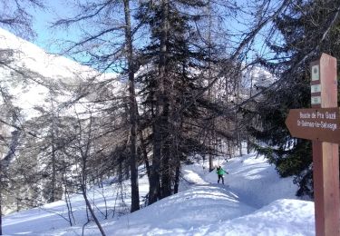
Touring skiing
Walking