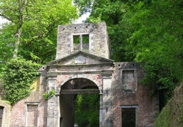
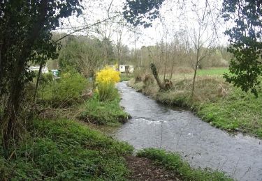
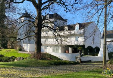
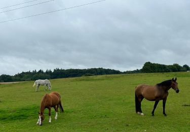
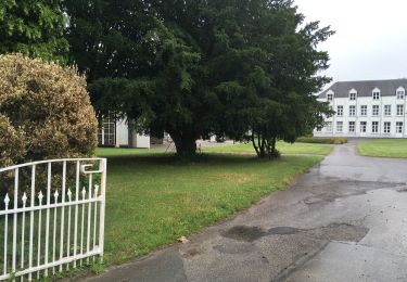
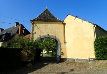
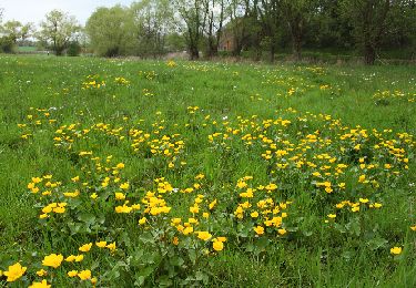
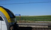
Trail Walking Chastre - gb - Blanmont (ou Mont st Guibert) - Villers la Ville - Photo

gb - Blanmont (ou Mont st Guibert) - Villers la Ville

 Charles Lemaire
Charles Lemaire

User GUIDE

© OpenStreetMap contributors
Length
Length
30 km
Max alt
Max alt
161 m
Uphill gradient
Uphill gradient
528 m
Km-Effort
Km-Effort  
37 km
Min alt
Min alt
80 m
Downhill gradient
Downhill gradient
528 m
Boucle
Boucle
Yes
Creation date :
2023-07-07 07:23:57.555
Updated on :
2023-07-07 14:47:57.689

(0 Reviews)

Walking
Walking
6h34
Difficulty : Very difficult

Scan this QR Code to open this trail in the SityTrail application

FREE GPS app for hiking

Logo SityTrail SityTrail

IGN / Geographical institutes

Download SityTrail from the App Store Download SityTrail from Google Play

Logo SityTrail SityTrail World

The world is yours!

Download SityTrail from the App Store Download SityTrail from Google Play Download SityTrail on Huawei AppGallery

About

Trail Walking of 30 km to be discovered at Wallonia, Walloon Brabant, Chastre. This trail is proposed by Charles Lemaire.

Description

une promenade pour les gourmands, bien qu'elle puisse être abrégée en de nombreux endroits ou en faire deux boucles autour de Sart Messire Guillaume.
Il est aussi possible de la démarrer de la gare de Mont Saint Guibert avec très peu de modifications par rapport aux informations fournies ici.
Information intéressante pour les marcheurs en été: il y a un point d'eau (normalement pour les chiens) dans le jardin du Chalet de la Forêt (à gauche sur le mur longeant la route). Merci à eux.

Elevation profile

Photos

Positioning

Country:
Belgium
Region :
Wallonia
Department/Province :
Walloon Brabant
Municipality :
Chastre
Location:
Unknown
Start:(UTM)
615732 ; 5608891 (31U) N.

Trails nearby

Trail Walking Ottignies-Louvain-la-Neuve - GG-Bw-02_Céroux-Mousty - Villers-la-Ville - Photo
Walking
PRO

Walking

Very difficult
(3)
Ottignies-Louvain-la-Neuve, Wallonia, Walloon Brabant, Belgium
20 km | 26 km-effort
5h 37min
No
Trail Walking Mont-Saint-Guibert - Balade à Mont-Saint-Guibert - Photo
Walking
GUIDE
Desrumaux

Walking

Very easy
(2)
Mont-Saint-Guibert, Wallonia, Walloon Brabant, Belgium
8.4 km | 10.1 km-effort
2h 12min
Yes
Trail Walking Court-Saint-Étienne - RB-BW-08 - À la rencontre de trois vallées - Photo
Walking
PRO

Walking

Very difficult
(2)
Court-Saint-Étienne, Wallonia, Walloon Brabant, Belgium
26 km | 32 km-effort
7h 18min
Yes
Trail Walking Chastre - #240223a - Blanmont, Orne, Alvaux, Nil Pierreux*** - Photo
Walking
Randos Ouvertes

Walking

Medium
(1)
Chastre, Wallonia, Walloon Brabant, Belgium
6.6 km | 7.8 km-effort
1h 47min
Yes
Trail Walking Chaumont-Gistoux - #231016 - Corroy-Le-Grand et le Val d'Ocquière*** (inversé court) - Photo
Walking
Randos Ouvertes

Walking

Medium
(2)
Chaumont-Gistoux, Wallonia, Walloon Brabant, Belgium
6.2 km | 7.2 km-effort
1h 38min
Yes
Trail Walking Court-Saint-Étienne - Avenue des Rossignols - Photo
Walking
Randos Ouvertes

Walking

Medium
(1)
Court-Saint-Étienne, Wallonia, Walloon Brabant, Belgium
5.8 km | 6.8 km-effort
1h 33min
No
Trail Walking Chastre - #230728 - Gentinnes Kongolo - Photo
Walking
Randos Ouvertes

Walking

Easy
(1)
Chastre, Wallonia, Walloon Brabant, Belgium
5 km | 5.6 km-effort
1h 16min
Yes
Trail On foot Walhain - #170829 - Nil Pierreux, carrières de quartzite, Moulin d'Al Poudre et Tour des Sarrasins*** - Photo
On foot
Randos Ouvertes

On foot

Very easy
(2)
Walhain, Wallonia, Walloon Brabant, Belgium
8.1 km | 9.9 km-effort
2h 0min
Yes
Trail Walking Chastre - Promenade de Villeroux - Photo
Walking
Chastre1450

Walking

Medium
(1)
Chastre, Wallonia, Walloon Brabant, Belgium
7.6 km | 8.5 km-effort
1h 53min
Yes


Close
My subscriptions