Trail Walking Karłów - Tocht door park Narodowy - Photo
 grappa
grappa

User

© OpenStreetMap contributors
Length
Length
4.3 km
Max alt
Max alt
750 m
Uphill gradient
Uphill gradient
77 m
Km-Effort
Km-Effort  
5.4 km
Min alt
Min alt
692 m
Downhill gradient
Downhill gradient
81 m
Boucle
Boucle
Yes
Creation date :
2023-07-06 10:18:13.183
Updated on :
2023-07-06 11:23:58.668

(0 Reviews)

Walking
Walking
1h05
Difficulty : Medium

Scan this QR Code to open this trail in the SityTrail application

FREE GPS app for hiking

Logo SityTrail SityTrail

IGN / Geographical institutes

Download SityTrail from the App Store Download SityTrail from Google Play

Logo SityTrail SityTrail World

The world is yours!

Download SityTrail from the App Store Download SityTrail from Google Play Download SityTrail on Huawei AppGallery

About

Trail Walking of 4.3 km to be discovered at Lower Silesian Voivodeship, Kłodzko County, Karłów. This trail is proposed by grappa.

Description

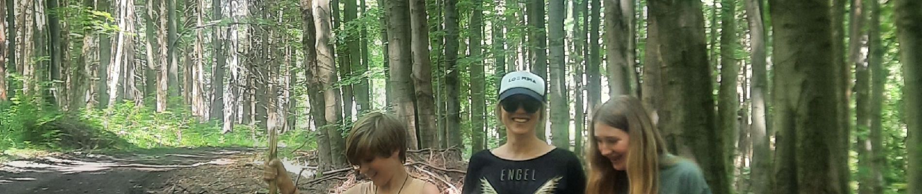
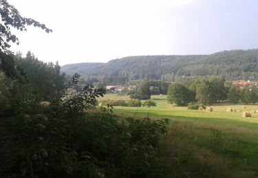
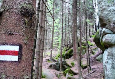
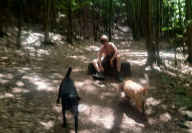
Een mooie boswandeling in het Tsjechische Park Narodowy. Langs gewone paden en minder gemakkelijk te betreden wandelwegen. Prachtig, bosrijk gebied.

Elevation profile

Photos

Positioning

Country:
Poland
Region :
Lower Silesian Voivodeship
Department/Province :
Kłodzko County
Municipality :
Karłów
Location:
Unknown
Start:(UTM)
598339 ; 5592680 (33U) N.

Trails nearby

Trail On foot Karłów - Ścieżka Skalnej Rzeźby - Photo
On foot
PRO

On foot

Easy
Karłów, Lower Silesian Voivodeship, Kłodzko County, Poland
5.3 km | 7 km-effort
1h 35min
No
Trail On foot Wambierzyce - Pielgrzym - Stroczy Zakręt - Photo
On foot
PRO

On foot

Easy
Wambierzyce, Lower Silesian Voivodeship, Kłodzko County, Poland
3.5 km | 4.8 km-effort
1h 4min
No
Trail Walking Radków - Park Narodowy Gór Stoťowych - Photo
Walking
grappa

Walking

Medium
Radków, Lower Silesian Voivodeship, Kłodzko County, Poland
8.2 km | 10.7 km-effort
1h 57min
Yes


Close
My subscriptions