Trail Walking Dannes - Mont Saint-Frieux - Photo
 Greg813
Greg813

User

© OpenStreetMap contributors
Length
Length
21 km
Max alt
Max alt
139 m
Uphill gradient
Uphill gradient
278 m
Km-Effort
Km-Effort  
25 km
Min alt
Min alt
0 m
Downhill gradient
Downhill gradient
278 m
Boucle
Boucle
Yes
Creation date :
2023-07-02 07:04:19.837
Updated on :
2023-10-01 15:13:33.272

(0 Reviews)

Walking
Walking
4h47
Difficulty : Medium

Scan this QR Code to open this trail in the SityTrail application

FREE GPS app for hiking

Logo SityTrail SityTrail

IGN / Geographical institutes

Download SityTrail from the App Store Download SityTrail from Google Play

Logo SityTrail SityTrail World

The world is yours!

Download SityTrail from the App Store Download SityTrail from Google Play Download SityTrail on Huawei AppGallery

About

Trail Walking of 21 km to be discovered at Hauts-de-France, Pas-de-Calais, Dannes. This trail is proposed by Greg813.

Description

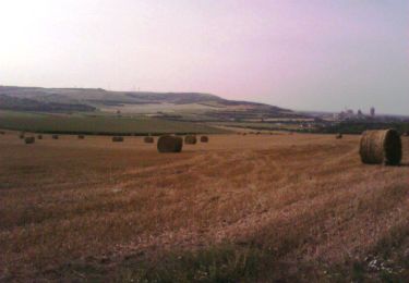
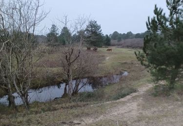
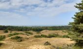
Randonnée avec Mettons le Monde en Marche autour du Mont Saint-Frieux.
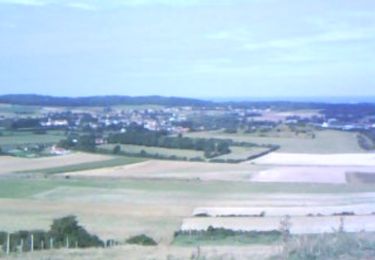
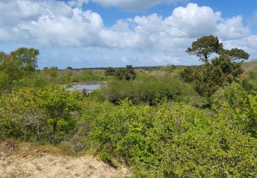
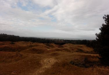
Ascension du mont en début de parcours pour profiter d'un superbe panorama avant de redescendre jusqu'à la plage pour entamer la boucle.

Pour d'autres photos, voir le site de l'association :
https://mmm-rando.org/initiation-au-longe-cote/

Elevation profile

Photos

Positioning

Country:
France
Region :
Hauts-de-France
Department/Province :
Pas-de-Calais
Municipality :
Dannes
Location:
Unknown
Start:(UTM)
401613 ; 5605076 (31U) N.

Trails nearby

Trail Walking Nesles - Mont Violette - Nesles - Photo
Walking
tracegps

Walking

Medium
(1)
Nesles, Hauts-de-France, Pas-de-Calais, France
11.6 km | 15.4 km-effort
3h 0min
Yes
Trail Walking Camiers - ballade  - Photo
Walking
gregcamb

Walking

Easy
(1)
Camiers, Hauts-de-France, Pas-de-Calais, France
7.8 km | 8.3 km-effort
1h 51min
No
Trail Walking Dannes - Le Mont Saint Frieux - Photo
Walking
tracegps

Walking

Easy
(1)
Dannes, Hauts-de-France, Pas-de-Calais, France
6.1 km | 7.8 km-effort
2h 0min
Yes
Trail Walking Dannes - DANNES MONT SAINT PRIEUX - Photo
Walking
pastoun

Walking

Medium
(1)
Dannes, Hauts-de-France, Pas-de-Calais, France
6.4 km | 8 km-effort
2h 16min
Yes
Trail Walking Dannes - Boucle Mont Saint Frieux - Photo
Walking
PatRando

Walking

Easy
Dannes, Hauts-de-France, Pas-de-Calais, France
6.5 km | 8.1 km-effort
1h 45min
Yes
Trail Walking Dannes - Mont St Frieux - Côte d'Opale - Photo
Walking
tracegps

Walking

Medium
Dannes, Hauts-de-France, Pas-de-Calais, France
6.4 km | 8 km-effort
2h 0min
Yes
Trail Walking Neufchâtel-Hardelot - De la Glaisière au Vouroux - Photo
Walking
tracegps

Walking

Medium
(1)
Neufchâtel-Hardelot, Hauts-de-France, Pas-de-Calais, France
15.4 km | 17.7 km-effort
3h 30min
Yes
Trail Walking Dannes - Cote d'opale - Dunes mont St- Prieu  - Photo
Walking
Vassaux.Sauvage

Walking

Medium
Dannes, Hauts-de-France, Pas-de-Calais, France
6.4 km | 7.9 km-effort
2h 17min
Yes
Trail Walking Dannes - M'ont Saint Frieux - Photo
Walking
tenace

Walking

Medium
Dannes, Hauts-de-France, Pas-de-Calais, France
6.4 km | 8 km-effort
1h 55min
Yes


Close
My subscriptions