


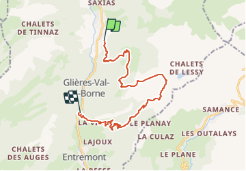

9.7 km | 15.3 km-effort


User


FREE GPS app for hiking
 SityTrail
IGN / Geographical institutes
SityTrail World
The world is yours!
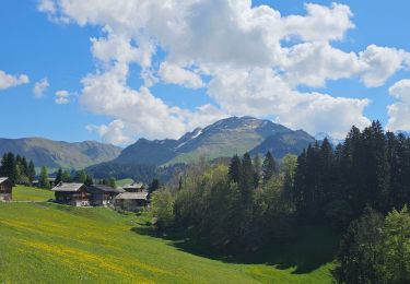
Trail Walking of 14.4 km to be discovered at Auvergne-Rhône-Alpes, Upper Savoy, Glières-Val-de-Borne. This trail is proposed by Chantal74.
Montée au lac de Lessy par le Paradis, et descente par les chalets de Mayze, puis Entremont, et retour en stop jusqu'au Petit Bornand, car la route nationale est dangereuse à pied

Walking

Walking

Touring skiing

Touring skiing
Walking

Walking
Walking
Walking
Mountain bike