


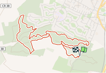


26 km | 31 km-effort

User


FREE GPS app for hiking
 SityTrail
IGN / Geographical institutes
SityTrail World
The world is yours!
Trail Walking of 7.3 km to be discovered at Ile-de-France, Essonne, Étréchy. This trail is proposed by guydu41.
Très beau petit circuit dans la Forêt Régionale d'Etréchy sur des chemins et des sentiers.


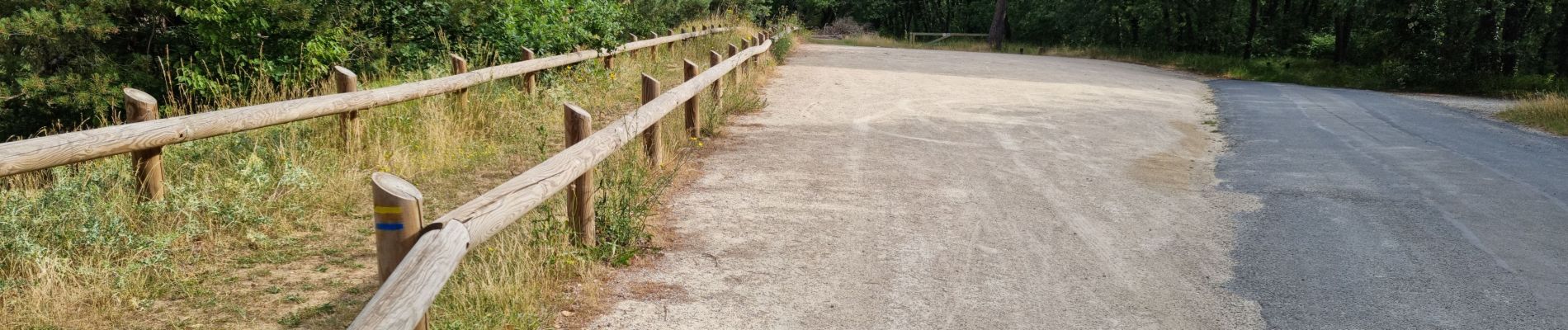
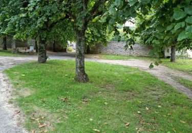
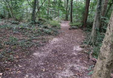
25 photos in total. Please click on a photo to see them all in the gallery.

On foot

Walking

On foot
Walking

Walking

Walking
Walking
Walking

Walking