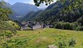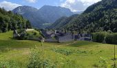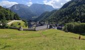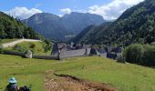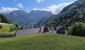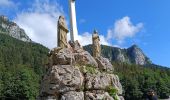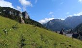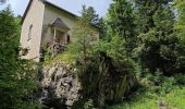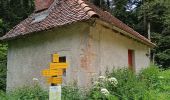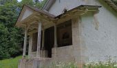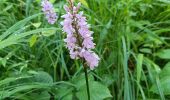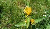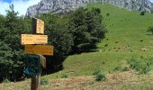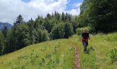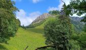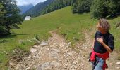

Monastère des Chartreux - Chapelle St Bruno -

crocau
User

Length
9.9 km

Max alt
1436 m

Uphill gradient
626 m

Km-Effort
17.6 km

Min alt
859 m

Downhill gradient
438 m
Boucle
No
Creation date :
2023-07-02 09:54:01.4
Updated on :
2023-07-02 16:10:48.887
5h27
Difficulty : Easy

FREE GPS app for hiking
About
Trail Walking of 9.9 km to be discovered at Auvergne-Rhône-Alpes, Isère, Saint-Pierre-de-Chartreuse. This trail is proposed by crocau.
Description
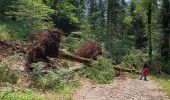
Depuis le musée, aller jusqu'à Haber de Billon, puis col de la ruchère, puis chapelles de Casabilus et chapelle st Bruno
Positioning
Country:
France
Region :
Auvergne-Rhône-Alpes
Department/Province :
Isère
Municipality :
Saint-Pierre-de-Chartreuse
Location:
Unknown
Start:(Dec)
Start:(UTM)
718504 ; 5025774 (31T) N.
Comments
Trails nearby
Le Grand Som 2026m, depuis Saint-Philibert


Walking
Difficult
(1)
Saint-Pierre-d'Entremont,
Auvergne-Rhône-Alpes,
Isère,
France

11.2 km | 25 km-effort
7h 0min
Yes
Le Charmant Som depuis le Col de la Charmette


Walking
Medium
(2)
Saint-Pierre-de-Chartreuse,
Auvergne-Rhône-Alpes,
Isère,
France

8.9 km | 17.3 km-effort
5h 0min
Yes
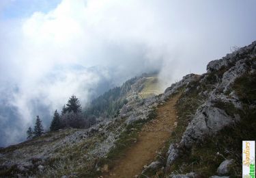
Le Charmant Som 1867m, par les dalles


Walking
Medium
(1)
Saint-Pierre-de-Chartreuse,
Auvergne-Rhône-Alpes,
Isère,
France

9.7 km | 21 km-effort
5h 0min
Yes
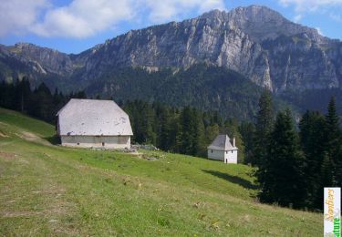
Les haberts du Désert de Chartreuse


Walking
Medium
(1)
Saint-Pierre-de-Chartreuse,
Auvergne-Rhône-Alpes,
Isère,
France

10.9 km | 21 km-effort
5h 0min
Yes
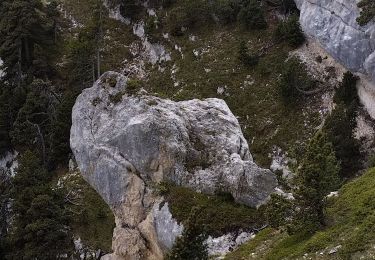
pas de rochebrune et de rocheplane


Walking
Difficult
Saint-Pierre-de-Chartreuse,
Auvergne-Rhône-Alpes,
Isère,
France

13.2 km | 26 km-effort
5h 32min
Yes
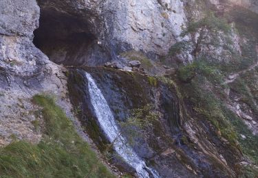
tour de la Dent de crolles par des sangles


Walking
Very difficult
Saint-Pierre-de-Chartreuse,
Auvergne-Rhône-Alpes,
Isère,
France

18.3 km | 38 km-effort
7h 35min
Yes
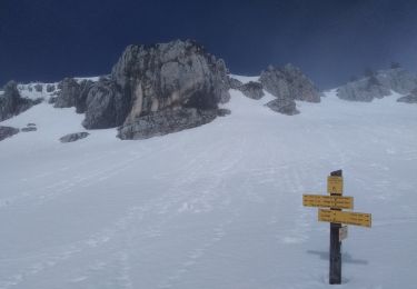
charmant Som par les Cottages


Touring skiing
Easy
Saint-Pierre-de-Chartreuse,
Auvergne-Rhône-Alpes,
Isère,
France

11.4 km | 24 km-effort
7h 17min
Yes

Dent de Crolles depuis Perquelin


Walking
Difficult
(1)
Saint-Pierre-de-Chartreuse,
Auvergne-Rhône-Alpes,
Isère,
France

12.7 km | 28 km-effort
6h 19min
Yes

Grand Som - Arête sud


Walking
Difficult
(1)
Saint-Pierre-de-Chartreuse,
Auvergne-Rhône-Alpes,
Isère,
France

11.1 km | 25 km-effort
6h 45min
Yes


 SityTrail


