


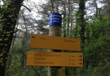
6.4 km | 11.2 km-effort


User

FREE GPS app for hiking
 SityTrail
IGN / Geographical institutes
SityTrail World
The world is yours!
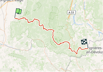
Trail of 107 km to be discovered at Auvergne-Rhône-Alpes, Drôme, Peyrus. This trail is proposed by Philippe DENJEAN.
Le GR93 prend naissance dans la vallée du Rhône, franchit les crêtes et s'achemine vers le cœur du Vercors qu'il quitte par le cirque d'Archiane. Puis, par les reliefs des contreforts sud, il arrive à Lus-la-Croix-Haute au pied du Dévoluy.
Walking

Walking

Walking

Walking

Walking
Walking

Walking

Walking
Walking