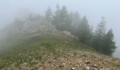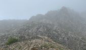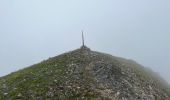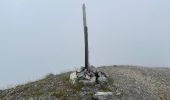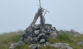

Mont Gravières

bozo1970
User

Length
13.4 km

Max alt
2310 m

Uphill gradient
948 m

Km-Effort
26 km

Min alt
1431 m

Downhill gradient
954 m
Boucle
Yes
Creation date :
2023-06-29 07:05:23.0
Updated on :
2023-06-29 16:20:47.723
4h22
Difficulty : Very difficult

FREE GPS app for hiking
About
Trail Walking of 13.4 km to be discovered at Provence-Alpes-Côte d'Azur, Maritime Alps, Roure. This trail is proposed by bozo1970.
Description
Départ de la balise 250
Montée vers la vacherie de Roure et le refuge de Longon en 1h
Sommet en 2h37’, 7km800 et D 890
Début de l’orage, aucune visibilité
Descente au GPS
A/R en 4h20’, 13km300 et D 969
Positioning
Country:
France
Region :
Provence-Alpes-Côte d'Azur
Department/Province :
Maritime Alps
Municipality :
Roure
Location:
Unknown
Start:(Dec)
Start:(UTM)
345005 ; 4886700 (32T) N.
Comments
Trails nearby
Via Alpina - D58: St Sauveur-sur-Tinée > St-Martin-Vésubie


Walking
Very difficult
(1)
Saint-Sauveur-sur-Tinée,
Provence-Alpes-Côte d'Azur,
Maritime Alps,
France

18.1 km | 33 km-effort
6h 0min
No
Circuit de Roure


On foot
Easy
(1)
Roure,
Provence-Alpes-Côte d'Azur,
Maritime Alps,
France

7.6 km | 15.6 km-effort
3h 33min
Yes

Mont Autcellier


Walking
Easy
(1)
Roure,
Provence-Alpes-Côte d'Azur,
Maritime Alps,
France

18 km | 31 km-effort
5h 48min
Yes

Couillole Mt Brussière


Snowshoes
Easy
(2)
Roubion,
Provence-Alpes-Côte d'Azur,
Maritime Alps,
France

5 km | 8.6 km-effort
2h 0min
Yes
Refuge et Porte de Longon, circuit de Vignols, Roure J2


Walking
Medium
Roure,
Provence-Alpes-Côte d'Azur,
Maritime Alps,
France

19.6 km | 28 km-effort
5h 8min
No
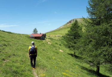
Mont Autcellier de Roure au Refuge Longon J1


Walking
Medium
Roure,
Provence-Alpes-Côte d'Azur,
Maritime Alps,
France

10 km | 19.2 km-effort
4h 21min
No
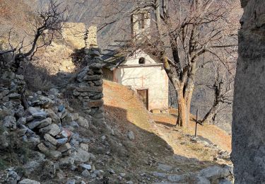
Hameau de Valabres


Walking
Medium
Roure,
Provence-Alpes-Côte d'Azur,
Maritime Alps,
France

12.5 km | 27 km-effort
4h 16min
Yes
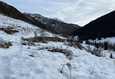
Mollières Hiver


Walking
Very difficult
Saint-Sauveur-sur-Tinée,
Provence-Alpes-Côte d'Azur,
Maritime Alps,
France

18 km | 31 km-effort
5h 1min
Yes
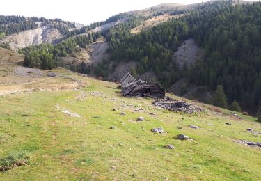
Col Couillole Ars Buissieres


Walking
Easy
Roubion,
Provence-Alpes-Côte d'Azur,
Maritime Alps,
France

10.5 km | 17.3 km-effort
3h 30min
Yes


 SityTrail


