15.9 km | 19.1 km-effort
Reyrevignes 2
gcournac
User
Length
5.6 km
Max alt
364 m
Uphill gradient
82 m
Km-Effort
6.7 km
Min alt
315 m
Downhill gradient
83 m
Boucle
Yes
Creation date :
2023-06-27 12:26:47.885
Updated on :
2023-06-27 14:46:13.768
1h51
Difficulty : Medium
FREE GPS app for hiking
About
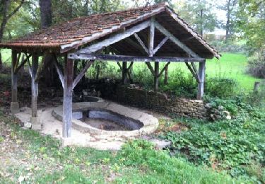
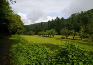
Trail Walking of 5.6 km to be discovered at Occitania, Lot, Reyrevignes. This trail is proposed by gcournac.
Description
belle rando.
Positioning
Country:
France
Region :
Occitania
Department/Province :
Lot
Municipality :
Reyrevignes
Location:
Unknown
Start:(Dec)
Start:(UTM)
413593 ; 4945047 (31T) N.
Comments
Trails nearby
Rando VTT 17km autour de Reyrevignes
Walking
Very difficult
(1)
Reyrevignes,
Occitania,
Lot,
France
4h 20min
Yes
Reyrevignes et ses lavoirs
Walking
Easy
(1)
Reyrevignes,
Occitania,
Lot,
France
7.9 km | 9.4 km-effort
2h 3min
Yes
Corn - Marcilhac sur Célé - Chemin de St-Jacques de Compostelle
Walking
Very difficult
(1)
Corn,
Occitania,
Lot,
France
24 km | 34 km-effort
5h 0min
No
balade Trezebens emmanuel
Moto cross
Medium
Le Bourg,
Occitania,
Lot,
France
15.7 km | 21 km-effort
54min
Yes
Belinac rs G
Walking
Very difficult
Livernon,
Occitania,
Lot,
France
25 km | 30 km-effort
2h 48min
No