


10.1 km | 14.9 km-effort


User GUIDE


FREE GPS app for hiking
 SityTrail
IGN / Geographical institutes
SityTrail World
The world is yours!
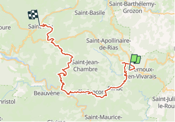
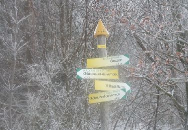
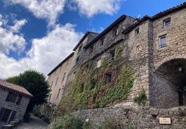
Trail Horseback riding of 33 km to be discovered at Auvergne-Rhône-Alpes, Ardèche, Vernoux-en-Vivarais. This trail is proposed by holtzv.
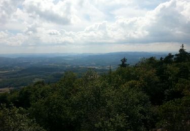
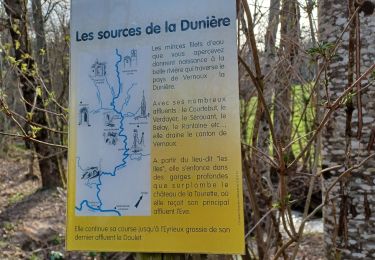
Attention! Passage difficile lorsque l'on quitte l'Eyrieux, bien rester sur le balisage VTT.
Vernoux-Les Blaches-Château Vau sèche-Saint Prix.
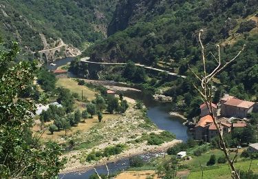
Pique nique Jonac
Walking
Walking

Walking
Walking
Walking
Walking
Walking

Walking
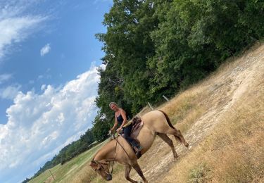
Horseback riding