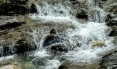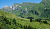

Boucle à décrire

dboon
User

Length
8.2 km

Max alt
1793 m

Uphill gradient
227 m

Km-Effort
12 km

Min alt
1429 m

Downhill gradient
454 m
Boucle
No
Creation date :
2023-06-25 09:43:37.0
Updated on :
2023-06-29 15:00:12.477
4h02
Difficulty : Easy

FREE GPS app for hiking
About
Trail Walking of 8.2 km to be discovered at Vorarlberg, Bezirk Bludenz, Gemeinde Lech. This trail is proposed by dboon.
Description
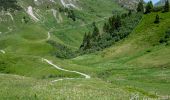
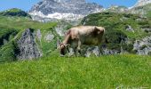
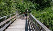
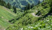
Le départ se fait du "Schlokopfparkplatz" à Lech qui correspond également à un arrêt de bus. Prendre le télécabine jusqu'à Oberlech. La rando est globalement très bien balisée. Au kilomètre 4, il ne faut toutefois pas hésiter à prendre un chemin qui n'est pas balisé pour le retour à Lech.
Positioning
Country:
Austria
Region :
Vorarlberg
Department/Province :
Bezirk Bludenz
Municipality :
Gemeinde Lech
Location:
Unknown
Start:(Dec)
Start:(UTM)
586018 ; 5229945 (32T) N.
Comments
Trails nearby
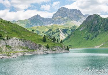
Boucle Spulersee à décrire


Walking
Difficult
Gemeinde Lech,
Vorarlberg,
Bezirk Bludenz,
Austria

17.4 km | 29 km-effort
6h 18min
Yes

walser_34


Walking
Very easy
Gemeinde Lech,
Vorarlberg,
Bezirk Bludenz,
Austria

10.4 km | 21 km-effort
Unknown
No

A décrire départ bus Warth


Walking
Difficult
Gemeinde Lech,
Vorarlberg,
Bezirk Bludenz,
Austria

14.5 km | 25 km-effort
5h 34min
No


 SityTrail


