10 km | 14.7 km-effort
Figanières-Serre de Moutte.
Sugg
User
Length
8.5 km
Max alt
393 m
Uphill gradient
224 m
Km-Effort
11.5 km
Min alt
276 m
Downhill gradient
224 m
Boucle
Yes
Creation date :
2019-03-22 16:59:51.449
Updated on :
2019-03-22 16:59:51.646
2h21
Difficulty : Medium
FREE GPS app for hiking
About
Trail Walking of 8.5 km to be discovered at Provence-Alpes-Côte d'Azur, Var, Figanières. This trail is proposed by Sugg.
Description
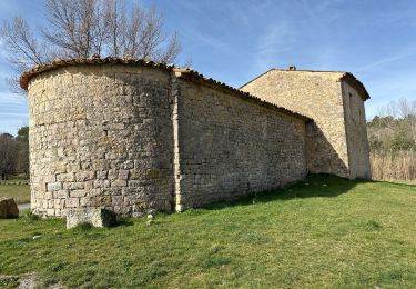
17-12-14 Rando de la demie-journée avec Pierre.
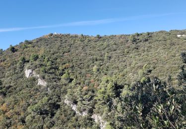
Parcours sympa, surtout la partie Nord.
Positioning
Country:
France
Region :
Provence-Alpes-Côte d'Azur
Department/Province :
Var
Municipality :
Figanières
Location:
Unknown
Start:(Dec)
Start:(UTM)
297864 ; 4827295 (32T) N.
Comments
Trails nearby
Draguignan Malmont 10 km
Walking
Medium
Draguignan,
Provence-Alpes-Côte d'Azur,
Var,
France
2h 56min
Yes
Draguignan Roche aux Fées Malmont 17 km
Walking
Medium
Draguignan,
Provence-Alpes-Côte d'Azur,
Var,
France
17.2 km | 23 km-effort
5h 52min
Yes
château château de château de la garde
Walking
Very easy
(1)
Figanières,
Provence-Alpes-Côte d'Azur,
Var,
France
9.2 km | 11.9 km-effort
2h 48min
Yes
Figanières 01
Walking
Very easy
(1)
Figanières,
Provence-Alpes-Côte d'Azur,
Var,
France
8.4 km | 11.8 km-effort
2h 30min
Yes
Callas- Autour de la Chapelle Saint-Auxile
Walking
Medium
Callas,
Provence-Alpes-Côte d'Azur,
Var,
France
6.4 km | 9.5 km-effort
2h 9min
Yes
Callas fait
Walking
Medium
Callas,
Provence-Alpes-Côte d'Azur,
Var,
France
20 km | 31 km-effort
6h 55min
Yes
La double Borie et le Beaudron . Montferrat
Walking
Difficult
(1)
Montferrat,
Provence-Alpes-Côte d'Azur,
Var,
France
9.1 km | 14.3 km-effort
3h 15min
Yes
M’ingérât
sport
Very easy
Montferrat,
Provence-Alpes-Côte d'Azur,
Var,
France
11.6 km | 17.2 km-effort
Unknown
Yes
20-06-2023 Pierrepont
Walking
Easy
Montferrat,
Provence-Alpes-Côte d'Azur,
Var,
France
12.4 km | 18.3 km-effort
4h 8min
Yes